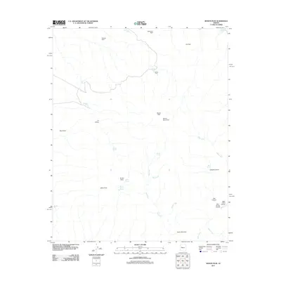
2011 Map of Mohon Peak
USGS Topo · Published 2011About this map
Mohon Mountains dominate this high-desert landscape in Yavapai County, centered on the prominent summit of Mohon Peak. This 2011 survey illustrates a region defined by its complex drainage systems and isolated peaks, where water sources like Mohon Spring, Stevens Spring, and Walnut Spring provided critical infrastructure for ranching and early travel. The presence of Mohon Camp near the main peak suggests a history of seasonal habitation or resource management in an otherwise high-elevation wilderness.
Find a feature on this map
31 named features on this map. Tap any name to fly to it.
Don’t see what you’re looking for? This feature index may not catch every label — zoom into the map to look around manually.
Map Details
Editions of this 2011 Mohon Peak Map
This is the sole edition of this map. No revisions or reprints were ever made.
Other maps of this area

1886 · Diamond Creek
USGS Topo · 1:250,000

1892 · Diamond Creek
USGS Topo · 1:250,000

1923 · Signal
USGS Topo · 1:250,000

1942 · Signal
USGS Topo · 1:250,000

1948 · Williams
USGS Topo · 1:250,000

1950 · Prescott
USGS Topo · 1:250,000

1954 · Prescott
USGS Topo · 1:250,000

1954 · Williams
USGS Topo · 1:250,000

1956 · Williams
USGS Topo · 1:250,000

1958 · Prescott
USGS Topo · 1:250,000