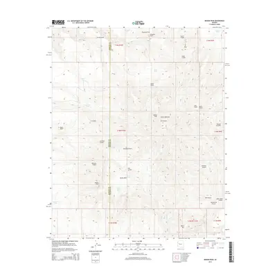
2014 Map of Mohon Peak
USGS Topo · Published 2014About this map
The Mohon Mountains dominate this high-desert landscape in northwestern Arizona, centered around the prominent Mohon Peak. This 2014 survey captures a terrain defined by complex drainage systems and seasonal water sources essential for ranching and wildlife. The map traces several deeply incised corridors, including Pine Canyon, Gonzales Canyon, and Winslow Canyon, which channel intermittent flows toward the Aguila Valley.
Find a feature on this map
50 named features on this map. Tap any name to fly to it.
Don’t see what you’re looking for? This feature index may not catch every label — zoom into the map to look around manually.
Map Details
Editions of this 2014 Mohon Peak Map
This is the sole edition of this map. No revisions or reprints were ever made.
Other maps of this area

1886 · Diamond Creek
USGS Topo · 1:250,000

1892 · Diamond Creek
USGS Topo · 1:250,000

1923 · Signal
USGS Topo · 1:250,000

1942 · Signal
USGS Topo · 1:250,000

1948 · Williams
USGS Topo · 1:250,000

1950 · Prescott
USGS Topo · 1:250,000

1954 · Prescott
USGS Topo · 1:250,000

1954 · Williams
USGS Topo · 1:250,000

1956 · Williams
USGS Topo · 1:250,000

1958 · Prescott
USGS Topo · 1:250,000