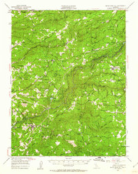
1948 Map of Mokelumne Hill
USGS Topo · Published 1960About this map
Mokelumne Hill and the surrounding Gold Country terrain of Amador and Calaveras Counties are detailed in this post-war topographical study based on 1946 aerial photography. The landscape is defined by the deep canyons of the Mokelumne River and its various forks, supporting a network of water infrastructure including the Electra Tunnel and Electra Powerhouse. Settlement patterns reflect both active communities like Pine Grove and West Point, and remnants of earlier eras noted as sites, such as Butte City and Rich Gulch.
Find a feature on this map
77 named features on this map. Tap any name to fly to it.
Don’t see what you’re looking for? This feature index may not catch every label — zoom into the map to look around manually.
Map Details
Editions of this 1948 Mokelumne Hill Map
3 editions found
Other maps of this area

1889 · Jackson
USGS Topo · 1:125,000

1889 · Pyramid Peak
USGS Topo · 1:125,000

1891 · Big Trees
USGS Topo · 1:125,000

1891 · Placerville
USGS Topo · 1:125,000

1891 · Pyramid Peak
USGS Topo · 1:125,000

1892 · Jackson
USGS Topo · 1:125,000

1892 · Placerville
USGS Topo · 1:125,000

1893 · Placerville
USGS Topo · 1:125,000

1894 · Big Trees
USGS Topo · 1:125,000

1895 · Pyramid Peak
USGS Topo · 1:125,000