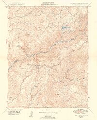
1949 Map of Mokelumne Hill
USGS Topo · Published 1949About this map
Mokelumne Hill serves as the central hub of this Gold Country landscape, situated just south of the Mokelumne River at the boundary of Amador and Calaveras Counties. The 1949 terrain reveals a transition from industrial mining legacies to agricultural ranching, with the Le Roi Mine and Blue Jay Mine appearing alongside family-held lands like Lombardi Ranch and McSorley Ranch. The map captures the remnants of earlier pioneer settlements, specifically noting the (Butte City) Ruins and the Middle Bar (Site) near the riverbanks.
Find a feature on this map
47 named features on this map. Tap any name to fly to it.
Don’t see what you’re looking for? This feature index may not catch every label — zoom into the map to look around manually.
Map Details
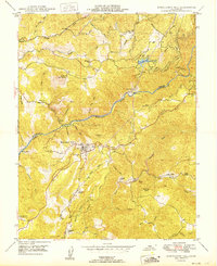
Editions of this 1949 Mokelumne Hill Map
2 editions found
Other maps of this area

1889 · Jackson
USGS Topo · 1:125,000

1892 · Jackson
USGS Topo · 1:125,000

1897 · Jackson
USGS Topo · 1:125,000

1902 · Jackson
USGS Topo · 1:125,000

1941 · Sutter Creek
USGS Topo · 1:62,500

1944 · Valley Springs
USGS Topo · 1:62,500

1944 · Sutter Creek
USGS Topo · 1:62,500

1945 · San Andreas
USGS Topo · 1:62,500

1947 · San Andreas
USGS Topo · 1:62,500

1947 · Sacramento
USGS Topo · 1:250,000