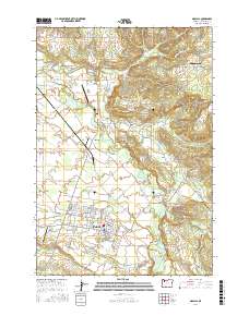
2017 Map of Molalla
USGS Topo · Published 2017About this map
The Molalla valley in Clackamas County serves as a major hub for small-town commerce and aviation in this 2017 survey. The landscape is defined by the winding course of the Molalla River and its several tributaries, including Milk Creek and Bear Cr, which historically dictated the placement of early settlements and crossings. Significant landmarks include Wrights Bridge and the Meadowbrook Bridge, alongside the local aviation centers at Mulino State Airport and Skydive Oregon Airport. The map documents the persistent rural character of established communities such as Beavercreek, Mulino, and Liberal, while tracing the finer details of local history through names like Shady Dell and Dickey Prairie. Genealogists and researchers can find specific road names such as S Adams Cemetery Rd, providing precise locations for family history work in these historic Oregon river valleys.
Find a feature on this map
139 named features on this map. Tap any name to fly to it.
Don’t see what you’re looking for? This feature index may not catch every label — zoom into the map to look around manually.
Map Details
Editions of this 2017 Molalla Map
This is the sole edition of this map. No revisions or reprints were ever made.
Other maps of this area

1911 · Boring
USGS Topo · 1:48,000

1914 · Boring
USGS Topo · 1:62,500

1914 · Oregon City
USGS Topo · 1:62,500

1916 · Estacada
USGS Topo · 1:125,000

1939 · Molalla
USGS Topo · 1:62,500

1939 · Oregon City
USGS Topo · 1:62,500

1940 · Molalla
USGS Topo · 1:62,500

1940 · Boring
USGS Topo · 1:62,500

1941 · Oregon City
USGS Topo · 1:62,500

1948 · Vancouver
USGS Topo · 1:250,000