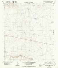
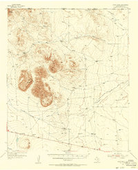
1979 Map of Molesworth Mesa North
USGS Topo · Published 1979About this map
Molesworth Mesa defines the southern extent of this West Texas landscape, where the high ground drops away into a network of desert draws and cattle tanks. Surveyed in the late 1970s, the terrain reveals the infrastructure of remote ranching life, centered on water management and transportation. Significant outposts like Cornudas Ranch and Double U Ranch are the primary markers of human settlement in this arid environment.
Find a feature on this map
16 named features on this map. Tap any name to fly to it.
Don’t see what you’re looking for? This feature index may not catch every label — zoom into the map to look around manually.
Map Details
Editions of this 1979 Molesworth Mesa North Map
This is the sole edition of this map. No revisions or reprints were ever made.
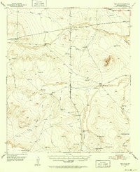
Other maps of this area

1903 · Cerro Alto
USGS Topo · 1:125,000
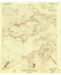
1943 · Tepee Butte
USGS Topo · 1:62,500
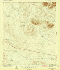
1943 · San Antonio Mtn
USGS Topo · 1:62,500
1951 · Red Hills
USGS Topo · 1:62,500

1954 · Van Horn
USGS Topo · 1:250,000
1955 · Cerro Diablo
USGS Topo · 1:62,500

1958 · Van Horn
USGS Topo · 1:250,000
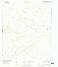
1978 · Molesworth Mesa South
USGS Topo · 1:24,000
1978 · Tepee Butte
USGS Topo · 1:24,000
1979 · Buckhorn Draw East
USGS Topo · 1:24,000