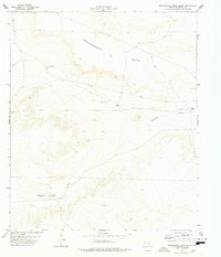
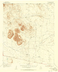
1978 Map of Molesworth Mesa South
USGS Topo · Published 1978About this map
Molesworth Mesa dominates this West Texas landscape, providing a high-altitude vantage point over a network of seasonal water drainage systems and isolated ranching infrastructure. The high desert environment is defined by its water management, with features like Hobo Tank, Drag Tank, and the Antelope Tanks serving as critical nodes for survival and livestock. The human presence is sparse but concentrated, anchored by the Williams Ranch near the eastern boundary and a lone Corral to the north. Surveyed in the mid-1970s, the map illustrates how topography dictates movement and land use, with Number 9 Draw and Antelope Draw carving paths through the terrain. This sheet is a record of specialized desert ranching, where remote outposts like Hobo Wells represent the tenuous but persistent habitation of the Trans-Pecos region.
Find a feature on this map
10 named features on this map. Tap any name to fly to it.
Don’t see what you’re looking for? This feature index may not catch every label — zoom into the map to look around manually.
Map Details
Editions of this 1978 Molesworth Mesa South Map
This is the sole edition of this map. No revisions or reprints were ever made.
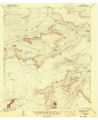
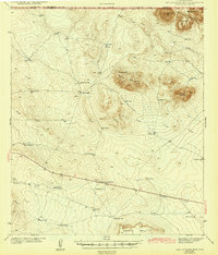
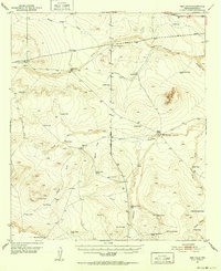
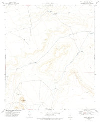
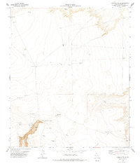
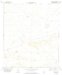
Other maps of this area

1903 · Cerro Alto
USGS Topo · 1:125,000
1943 · Tepee Butte
USGS Topo · 1:62,500
1943 · San Antonio Mtn
USGS Topo · 1:62,500
1951 · Red Hills
USGS Topo · 1:62,500

1954 · Van Horn
USGS Topo · 1:250,000
1955 · Cerro Diablo
USGS Topo · 1:62,500

1958 · Van Horn
USGS Topo · 1:250,000
1978 · Granite Mountain
USGS Topo · 1:24,000
1978 · Tepee Butte SW
USGS Topo · 1:24,000
1978 · Tepee Butte
USGS Topo · 1:24,000