1978 Map of Tepee Butte SW
USGS Topo · Published 1978About this map
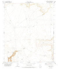
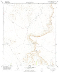
Mac Guire Ranch serves as a lonely human outpost in this high-desert landscape during the late 1970s. The map illustrates an arid ranching economy heavily dependent on scattered water sources, including Apache Tank, Deep Well, and Red Tub Tank. The presence of twin Landing Strips suggests the necessity of light aircraft for navigating these expansive Hudspeth County distances. Topographical interest is concentrated along Alamo Canyon and the Head of Canyon Tank, where the terrain drops sharply compared to the surrounding plateau. This survey highlights the infrastructure of West Texas range life, from a simple Corral to the specific siting of Water Tanks positioned to sustain livestock across the scrubland.
Find a feature on this map
19 named features on this map. Tap any name to fly to it.
Don’t see what you’re looking for? This feature index may not catch every label — zoom into the map to look around manually.
Map Details
Editions of this 1978 Tepee Butte SW Map
This is the sole edition of this map. No revisions or reprints were ever made.
Other maps of this area

1894 · Fort Hancock
USGS Topo · 1:125,000

1903 · Cerro Alto
USGS Topo · 1:125,000
1942 · Borrego
USGS Topo · 1:62,500
1943 · Tepee Butte
USGS Topo · 1:62,500

1943 · Finlay Mountains
USGS Topo · 1:62,500

1943 · Fort Hancock
USGS Topo · 1:62,500

1954 · Van Horn
USGS Topo · 1:250,000

1958 · Van Horn
USGS Topo · 1:250,000
1972 · Cavett Lake
USGS Topo · 1:24,000
1977 · Whiterock Hills
USGS Topo · 1:24,000