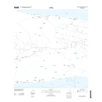
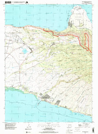
2013 Map of Molokai Airport
USGS Topo · Published 2013About this map
Molokai Airport and its surrounding aviation infrastructure, including the Walahewahewa Airway Beacon, anchor the central plateau of this Hawaiian landscape. The terrain transitions from the coastal reaches of the Pacific Ocean at Kalani Beach and Mo‘omomi Beach to the interior highlands where Maunaloa Reservoir provides a critical water source. The settlement pattern is characterized by the agricultural operations at the Maui Community College Farms and the residential grid of Waihuna. Numerous gulches, such as Kahu‘uwai Gulch and Mane‘opapa Gulch, carve through the land toward the northern coast, while the southern shore is marked by Kaumanamana Point and the historical site of Kolo Wharf. This survey captures a moment when the island's central corridor supported both civil aviation and essential agricultural research.
Find a feature on this map
85 named features on this map. Tap any name to fly to it.
Don’t see what you’re looking for? This feature index may not catch every label — zoom into the map to look around manually.
Map Details
Editions of this 2013 Molokai Airport Map
This is the sole edition of this map. No revisions or reprints were ever made.
Other maps of this area

1952 · Molokai Airport
USGS Topo · 1:24,000
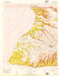
1952 · Ilio Point
USGS Topo · 1:24,000

1952 · Kaunakakai
USGS Topo · 1:24,000

1954 · Maui
USGS Topo · 1:250,000

1966 · Maui
USGS Topo · 1:250,000

1967 · Kaunakakai
USGS Topo · 1:24,000
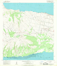
1968 · Molokai Airport
USGS Topo · 1:24,000
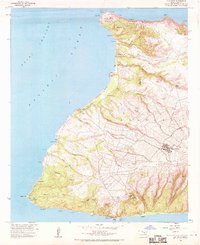
1968 · Ilio Point
USGS Topo · 1:24,000

1974 · Maui
USGS Topo · 1:250,000
1993 · Kaunakakai
USGS Topo · 1:24,000