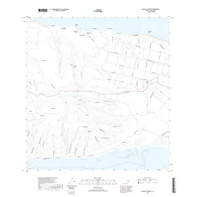
2017 Map of Molokai Airport
USGS Topo · Published 2017About this map
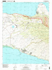
Maunaloa sits at the western heights of the island, overlooking a landscape defined by an intricate network of drainage gulches and coastal landmarks. This 2017 survey by the U.S. Geological Survey details the central plateau where the Molokai Airport serves as a critical infrastructure hub, surrounded by agricultural and residential grids like Waihuna. The northern coastline is marked by the distinct Hauākea Pali sea cliffs and remote shores including Mo'omomi Beach and Kawa'aloa Beach. Inland, the importance of water management in this arid environment is evidenced by the Maunaloa Reservoir and the numerous named gulches like Mānalo Gulch and Waiahewahewa Gulch that carve through the terrain toward the Pacific. Along the southern coast, the ancient Pākanaka Fishpond remains a visible connection to traditional land and sea usage near Kaumanamang Point.
Find a feature on this map
76 named features on this map. Tap any name to fly to it.
Don’t see what you’re looking for? This feature index may not catch every label — zoom into the map to look around manually.
Map Details
Editions of this 2017 Molokai Airport Map
This is the sole edition of this map. No revisions or reprints were ever made.
Other maps of this area

1952 · Molokai Airport
USGS Topo · 1:24,000
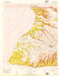
1952 · Ilio Point
USGS Topo · 1:24,000

1952 · Kaunakakai
USGS Topo · 1:24,000

1954 · Maui
USGS Topo · 1:250,000

1966 · Maui
USGS Topo · 1:250,000

1967 · Kaunakakai
USGS Topo · 1:24,000
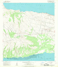
1968 · Molokai Airport
USGS Topo · 1:24,000
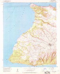
1968 · Ilio Point
USGS Topo · 1:24,000

1974 · Maui
USGS Topo · 1:250,000
1993 · Kaunakakai
USGS Topo · 1:24,000