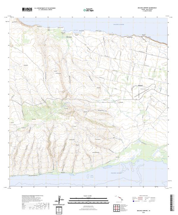
2024 Map of Molokai Airport
USGS Topo · Published 2024About this map
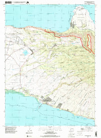
Kualapuu and the Molokai Airport anchor the central plains of Molokai in this modern 2024 USGS survey. The landscape transitions from the residential and agricultural grid of the interior out toward the island's southern and northern shores. To the west, the settlement of Maunaloa sits near the headwaters of numerous drainages including Kaka‘ako Gulch and Kolo Gulch, which carve through the terrain toward the south coast. This map illustrates the vital water management infrastructure of the region, specifically the Maunaloa Reservoir and the Kukui area.
Find a feature on this map
78 named features on this map. Tap any name to fly to it.
Don’t see what you’re looking for? This feature index may not catch every label — zoom into the map to look around manually.
Map Details
Editions of this 2024 Molokai Airport Map
This is the sole edition of this map. No revisions or reprints were ever made.
Other maps of this area

1952 · Molokai Airport
USGS Topo · 1:24,000
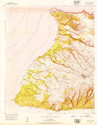
1952 · Ilio Point
USGS Topo · 1:24,000

1952 · Kaunakakai
USGS Topo · 1:24,000

1954 · Maui
USGS Topo · 1:250,000

1966 · Maui
USGS Topo · 1:250,000

1967 · Kaunakakai
USGS Topo · 1:24,000
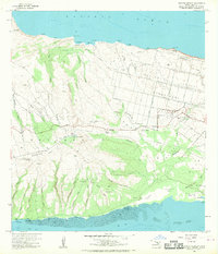
1968 · Molokai Airport
USGS Topo · 1:24,000
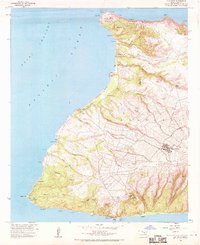
1968 · Ilio Point
USGS Topo · 1:24,000

1974 · Maui
USGS Topo · 1:250,000
1993 · Kaunakakai
USGS Topo · 1:24,000