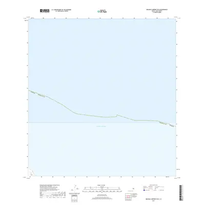
2017 Map of Molokai Airport OE N
USGS Topo · Published 2017About this map
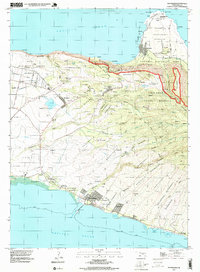
The vast expanse of the Pacific Ocean dominates this maritime survey off the northern coast of Molokai. The map defines a significant administrative boundary between Honolulu County and Maui County, a line that cuts diagonally across the open sea. While primarily a hydrographic and jurisdictional study, a small fragment of land appears in the extreme southwestern corner at Ka‘a. This coastal point features steep topographical contours that rise sharply from the shoreline, offering a rare terrestrial reference point in an otherwise oceanic quadrangle. The map captures the legal and geographical demarcation of Hawaiian waters during the mid-2010s, illustrating the exact maritime border where the two island counties meet.
Find a feature on this map
4 named features on this map. Tap any name to fly to it.
Don’t see what you’re looking for? This feature index may not catch every label — zoom into the map to look around manually.
Map Details
Editions of this 2017 Molokai Airport OE N Map
This is the sole edition of this map. No revisions or reprints were ever made.
Other maps of this area

1952 · Molokai Airport
USGS Topo · 1:24,000
1952 · Ilio Point
USGS Topo · 1:24,000

1952 · Kaunakakai
USGS Topo · 1:24,000

1954 · Maui
USGS Topo · 1:250,000

1966 · Maui
USGS Topo · 1:250,000

1967 · Kaunakakai
USGS Topo · 1:24,000
1968 · Molokai Airport
USGS Topo · 1:24,000
1968 · Ilio Point
USGS Topo · 1:24,000

1974 · Maui
USGS Topo · 1:250,000
1993 · Kaunakakai
USGS Topo · 1:24,000