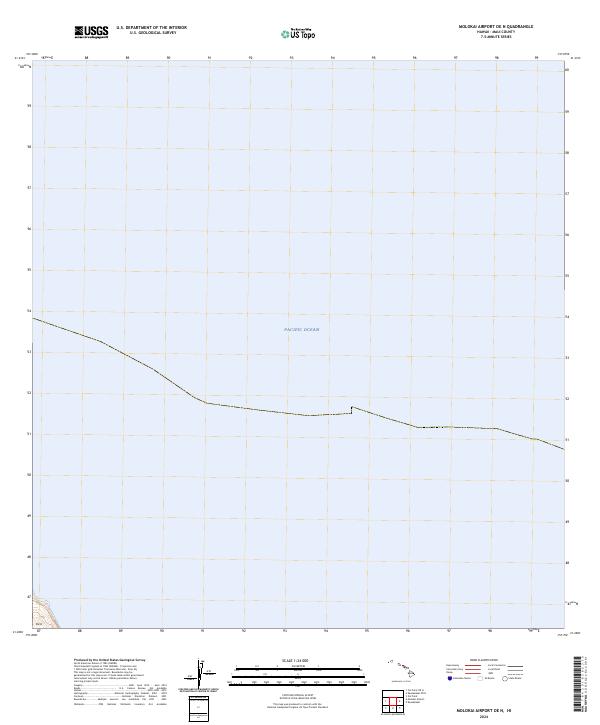
2024 Map of Molokai Airport OE N
USGS Topo · Published 2024About this map
The Pacific Ocean dominates this maritime survey off the northern coast of Molokai, focusing on the waters north of the airport quadrangle. Most of the map area is dedicated to hydrographic space, with the exception of a small terrestrial corner at the southwestern edge. This land fragment includes the coastal area of Ka'a, where the terrain rises sharply from the sea. The map records the contemporary shoreline and bathymetric orientation of this specific stretch of Hawaiian coastline, providing a precise spatial reference for the interface between the volcanic island landscape and the open ocean.
Find a feature on this map
3 named features on this map. Tap any name to fly to it.
Don’t see what you’re looking for? This feature index may not catch every label — zoom into the map to look around manually.
Map Details
Editions of this 2024 Molokai Airport OE N Map
This is the sole edition of this map. No revisions or reprints were ever made.
Other maps of this area

1952 · Molokai Airport
USGS Topo · 1:24,000
1952 · Ilio Point
USGS Topo · 1:24,000

1952 · Kaunakakai
USGS Topo · 1:24,000

1954 · Maui
USGS Topo · 1:250,000

1966 · Maui
USGS Topo · 1:250,000

1967 · Kaunakakai
USGS Topo · 1:24,000
1968 · Molokai Airport
USGS Topo · 1:24,000
1968 · Ilio Point
USGS Topo · 1:24,000

1974 · Maui
USGS Topo · 1:250,000
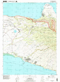
1993 · Kaunakakai
USGS Topo · 1:24,000