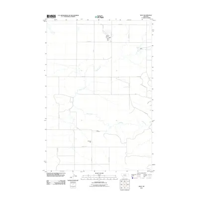
2011 Map of Molt
USGS Topo · Published 2011About this map
Molt serves as the primary focal point of this Stillwater County landscape, where the grain elevator and rail lines of the past have given way to modern rural life. The small community is anchored by the Molt Post Office and the Molt Vol Fire Dept, situated at the crossroads of Rapelje Rd and Blattie Rd. Surrounding the settlement, the geography is defined by the winding course of Canyon Creek and broad stretches of grazing land, including the expanse of Coombs Flat. Evidence of the area's homesteading and ranching heritage is preserved through landmarks like the Luckey Homestead and the Lazy K T Ranch near Morgan Spring. A network of unpaved roads such as Lost Trail Rd and Clapper Flat Rd provides access to the dispersed homesteads and flatlands that characterize this part of Montana.
Find a feature on this map
27 named features on this map. Tap any name to fly to it.
Don’t see what you’re looking for? This feature index may not catch every label — zoom into the map to look around manually.
Map Details
Editions of this 2011 Molt Map
This is the sole edition of this map. No revisions or reprints were ever made.
Other maps of this area

1892 · Stillwater
USGS Topo · 1:125,000

1954 · Billings
USGS Topo · 1:250,000

1956 · Comanche
USGS Topo · 1:24,000

1956 · Hunter Lake
USGS Topo · 1:24,000

1956 · Horse Butte
USGS Topo · 1:24,000

1956 · Molt
USGS Topo · 1:24,000

1956 · Wheat Basin
USGS Topo · 1:24,000

1956 · Rock Spring
USGS Topo · 1:24,000

1956 · Two Pine School
USGS Topo · 1:24,000

1956 · Laurel
USGS Topo · 1:24,000