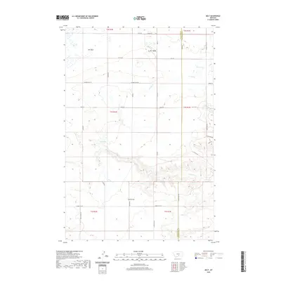
2020 Map of Molt
USGS Topo · Published 2020About this map
Molt sits atop the high plains at the boundary of Stillwater and Yellowstone counties, a region defined by the expansive Lake Basin and the winding course of Canyon Cr. This high-plateau landscape is marked by natural watering points like Indian Spring and Morgan Spring, which were vital for early ranching and transit through the territory. The survey reveals a grid of rural routes that follow the rugged topography, including several with historical naming such as Buffalo Trail Rd and Lost Trail Rd. To the south, Coombs Flat and Clapper Flat Rd trace the flat-topped ridges above the canyon breaks. The settlement pattern here is sparse, characterized by isolated homesteads and expansive range land typical of the Montana plains, where the divide between counties is etched into the very alignment of the local road network.
Find a feature on this map
36 named features on this map. Tap any name to fly to it.
Don’t see what you’re looking for? This feature index may not catch every label — zoom into the map to look around manually.
Map Details
Editions of this 2020 Molt Map
This is the sole edition of this map. No revisions or reprints were ever made.
Other maps of this area

1892 · Stillwater
USGS Topo · 1:125,000

1954 · Billings
USGS Topo · 1:250,000

1956 · Comanche
USGS Topo · 1:24,000

1956 · Hunter Lake
USGS Topo · 1:24,000

1956 · Horse Butte
USGS Topo · 1:24,000

1956 · Molt
USGS Topo · 1:24,000

1956 · Wheat Basin
USGS Topo · 1:24,000

1956 · Rock Spring
USGS Topo · 1:24,000

1956 · Two Pine School
USGS Topo · 1:24,000

1956 · Laurel
USGS Topo · 1:24,000