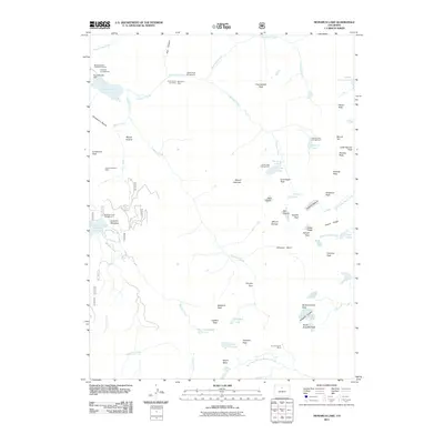
2011 Map of Monarch Lake
USGS Topo · Published 2011About this map
The Indian Peaks dominate this high-altitude landscape of Grand County, where glaciated terrain and mining history intersect. The map documents several significant ice masses including the Arapaho Glacier, Peck Glacier, and Isabelle Glacier, situated among jagged summits such as Navajo Peak and Apache Peak. Historical mining activity is marked by the Ruth Group of Claims, Monarch Mine, and the High Lonesome Mine, indicating the search for mineral wealth in these steep basins. Human management of the water system is evident through the Monarch Lake Dam and the Meadow Creek Reservoir, which coordinate drainage through Arapaho Creek and Buchanan Creek. The area’s recreational use is highlighted by numerous backcountry hubs, including the Shelter Rock Campground and Crater Lake Campground, connected by a network of high-elevation routes such as Pawnee Pass and Caribou Pass.
Find a feature on this map
71 named features on this map. Tap any name to fly to it.
Don’t see what you’re looking for? This feature index may not catch every label — zoom into the map to look around manually.
Map Details
Editions of this 2011 Monarch Lake Map
This is the sole edition of this map. No revisions or reprints were ever made.
Other maps of this area

1905 · Central City
USGS Topo · 1:62,500

1910 · Central City
USGS Topo · 1:62,500

1912 · Central City
USGS Topo · 1:62,500

1915 · Longs Peak
USGS Topo · 1:125,000

1919 · Rocky Mountain National Park
USGS Topo · 1:125,000

1924 · Fraser
USGS Topo · 1:62,500

1926 · Fraser
USGS Topo · 1:62,500

1942 · Nederland
USGS Topo · 1:24,000
1944 · Nederland
USGS Topo · 1:31,680

1953 · Denver
USGS Topo · 1:250,000