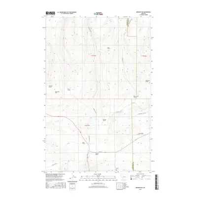
2017 Map of Monarch NE
USGS Topo · Published 2017About this map
Monarch Canyon and its complex network of seasonal drainages define this stretch of the central Montana landscape along the border of Cascade and Judith Basin counties. The map highlights a terrain dominated by significant coulees and high-plains features, such as Rattlesnake Butte and Swan Coulee. Historically, this area is marked by rugged accessibility, with roads like Logging Creek Rd and Limestone Butte Rd providing passage through the high country. Genealogists and local historians will find value in the location of the Monarch Cem, situated near the southern edge of the quadrangle. The naming conventions throughout the area, including Never Sweat Coulee and Dutchman Coulee, reflect the early ranching and prospecting heritage of the Little Belt Mountains region during its modern development.
Find a feature on this map
23 named features on this map. Tap any name to fly to it.
Don’t see what you’re looking for? This feature index may not catch every label — zoom into the map to look around manually.
Map Details
Editions of this 2017 Monarch NE Map
This is the sole edition of this map. No revisions or reprints were ever made.
Other maps of this area

1890 · Fort Benton
USGS Topo · 1:250,000

1892 · Fort Benton
USGS Topo · 1:250,000

1897 · Fort Benton
USGS Topo · 1:250,000

1954 · Great Falls
USGS Topo · 1:250,000

1956 · Belt
USGS Topo · 1:62,500

1957 · Great Falls
USGS Topo · 1:250,000
1961 · Limestone Butte
USGS Topo · 1:24,000
1961 · Barker
USGS Topo · 1:24,000

1961 · Barker
USGS Topo · 1:62,500
1967 · Monarch NE
USGS Topo · 1:24,000