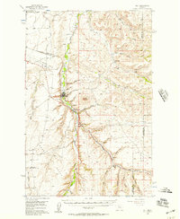
1956 Map of Belt
USGS Topo · Published 1957About this map
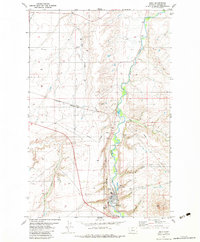
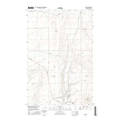
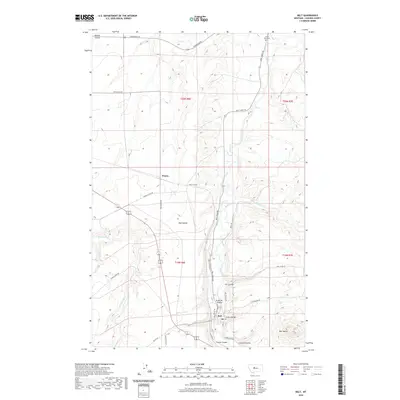
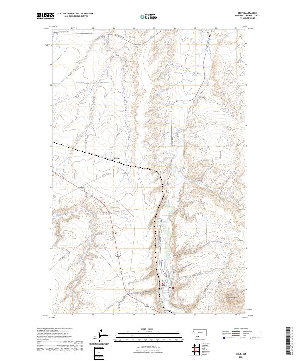
The Great Northern railroad corridor serves as the industrial backbone of this mid-century landscape, threading through the high plains and narrow valleys of central Montana. The settlement of Belt dominates the central portion of the map, situated at the confluence of several prominent coulees and the meandering Belt Creek. This area illustrates a transition between the open cattle-grazing territory of Swede Bench and the coal-mining operations that defined the local economy, notably at the Orr East Belt Mine.
Find a feature on this map
47 named features on this map. Tap any name to fly to it.
Don’t see what you’re looking for? This feature index may not catch every label — zoom into the map to look around manually.
Map Details
Editions of this 1956 Belt Map
This is the sole edition of this map. No revisions or reprints were ever made.
Historical Maps of Belt Through Time
8 maps found