
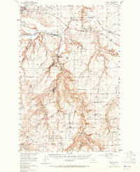
1955 Map of Stockett
USGS Topo · Published 1957About this map
Malmstrom Air Force Base overlooks the northern plains where the Great Northern railway cuts through the coulee country south of Great Falls. This mid-century landscape is defined by its agricultural and mining roots, centered on the historic coal and clay settlements of Sandcoulee, Stockett, and Centerville. The terrain is deeply incised by Sand Coulee Creek and Cottonwood Creek, creating a network of benches and flats that dictated the placement of early schools like Box Elder Sch and Flemming Sch. Numerous cemeteries, including the Cottonwood Bench Cem and Tiger Butte Cem, are scattered across the higher ground, serving as vital markers for genealogical research in this part of Cascade County. The map provides a detailed view of local infrastructure just as the region transitioned into the Cold War era, balancing military expansion with the established rural patterns of Giffen Corners and Fife.
Find a feature on this map
43 named features on this map. Tap any name to fly to it.
Don’t see what you’re looking for? This feature index may not catch every label — zoom into the map to look around manually.
Map Details
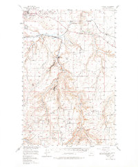
Editions of this 1955 Stockett Map
3 editions found
Other maps of this area

1886 · Great Falls
USGS Topo · 1:250,000

1890 · Fort Benton
USGS Topo · 1:250,000

1892 · Fort Benton
USGS Topo · 1:250,000

1897 · Fort Benton
USGS Topo · 1:250,000

1948 · Portage
USGS Topo · 1:62,500

1949 · Portage
USGS Topo · 1:62,500

1949 · Great Falls
USGS Topo · 1:62,500

1951 · Great Falls
USGS Topo · 1:62,500

1954 · Great Falls
USGS Topo · 1:250,000

1954 · Waltham
USGS Topo · 1:24,000