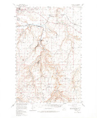
1955 Map of Stockett
USGS Topo · Published 1978About this map
The Malmstrom Air Force Base and the southern reaches of Great Falls define the northern edge of this mid-century landscape, where the plateau gives way to a network of deeply incised coulees. This area south of the Missouri River Basin shows a dense concentration of rural schools and small coal-mining era settlements, many of which are linked by the Great Northern railway line. The drainage of Sand Coulee Creek serves as a primary corridor for communities like Stockett, Sand Coulee, and Centerville, illustrating the historic dependency on both water and rail for regional development.
Find a feature on this map
47 named features on this map. Tap any name to fly to it.
Don’t see what you’re looking for? This feature index may not catch every label — zoom into the map to look around manually.
Map Details
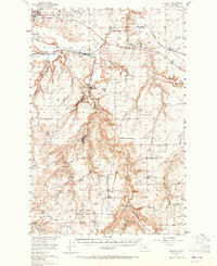
Editions of this 1955 Stockett Map
3 editions found

Other maps of this area

1886 · Great Falls
USGS Topo · 1:250,000

1890 · Fort Benton
USGS Topo · 1:250,000

1892 · Fort Benton
USGS Topo · 1:250,000

1897 · Fort Benton
USGS Topo · 1:250,000

1948 · Portage
USGS Topo · 1:62,500

1949 · Portage
USGS Topo · 1:62,500

1949 · Great Falls
USGS Topo · 1:62,500

1951 · Great Falls
USGS Topo · 1:62,500

1954 · Great Falls
USGS Topo · 1:250,000

1954 · Waltham
USGS Topo · 1:24,000