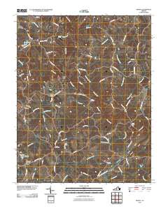
2010 Map of Moneta
USGS Topo · Published 2010About this map
Goose Creek defines the central drainage of this Bedford County landscape, winding past the historic settlement at Davis Mill and south toward Haden Bridge. The area's mid-20th-century development is visible through a network of rural roads such as Smith Mountain Lake Pkwy and Fancy Grove Rd, which connect local communities like Moneta and Radford. Several family and community landmarks offer significant value for genealogical research, including the Morgans Church Cemetery, Bond Cemetery, and the Morgan Cemetery located near The Meadows.
Find a feature on this map
72 named features on this map. Tap any name to fly to it.
Don’t see what you’re looking for? This feature index may not catch every label — zoom into the map to look around manually.
Map Details
Editions of this 2010 Moneta Map
This is the sole edition of this map. No revisions or reprints were ever made.
Other maps of this area

1890 · Roanoke
USGS Topo · 1:125,000

1891 · Roanoke
USGS Topo · 1:125,000

1892 · Lynchburg
USGS Topo · 1:125,000

1947 · Roanoke
USGS Topo · 1:250,000

1950 · Goode
USGS Topo · 1:62,500

1950 · Peaks of Otter
USGS Topo · 1:62,500

1951 · Moneta
USGS Topo · 1:62,500

1951 · Altavista
USGS Topo · 1:62,500

1959 · Roanoke
USGS Topo · 1:250,000

1963 · Roanoke
USGS Topo · 1:250,000