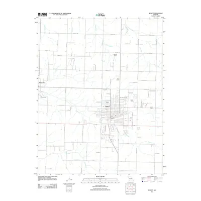
2012 Map of Monett
USGS Topo · Published 2012About this map
Monett serves as the primary urban hub on this Lawrence and Barry County border, where a dense residential grid is bisected by major thoroughfares and defined by the course of Kelly Creek. The landscape transitions from the city center to a rural agricultural pattern, marked by family-named landmarks and several historic burial grounds such as Oakdale Cemetery and Saint Johns Cemetery. Aviation history is visible through the presence of both the Monett Airport and the smaller McClurg Airport to the north.
Find a feature on this map
81 named features on this map. Tap any name to fly to it.
Don’t see what you’re looking for? This feature index may not catch every label — zoom into the map to look around manually.
Map Details
Editions of this 2012 Monett Map
This is the sole edition of this map. No revisions or reprints were ever made.
Other maps of this area

1886 · Greenfield
USGS Topo · 1:125,000

1886 · Carthage
USGS Topo · 1:125,000

1888 · Greenfield
USGS Topo · 1:125,000

1894 · Carthage
USGS Topo · 1:125,000

1921 · Stotts City
USGS Topo · 1:62,500

1921 · Sarcoxie
USGS Topo · 1:62,500

1943 · Ritchey
USGS Topo · 1:62,500

1943 · Monett
USGS Topo · 1:62,500

1945 · Harrison
USGS Topo · 1:250,000

1947 · Joplin
USGS Topo · 1:250,000