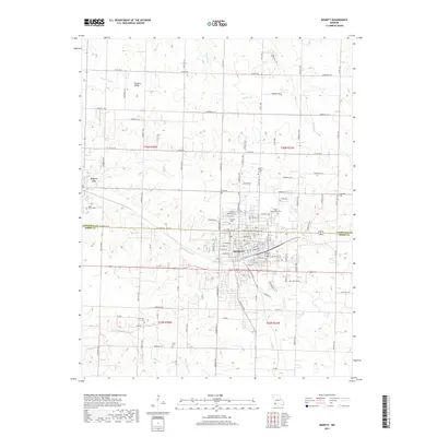
2017 Map of Monett
USGS Topo · Published 2017About this map
Monett straddles the county line between Lawrence and Barry counties, serving as a regional hub defined by its organized grid and multiple cemeteries. Local history is deeply etched into the landscape at sites like Oakdale Cem, Mount Calvary Cem, and Saint Johns Cem, which cluster near the town's northern and eastern edges. To the west, the smaller settlement of Pierce City sits at the headwaters of the regional drainage system, where Clear Cr and Dry Valley Br begin their courses through the Ozark plateau. The rural sections of the quadrangle are marked by a dense network of county roads, such as Lawrence 2210 and Farm RD 2030, connecting outlying homesteads and family burial grounds like Cox Cem and Carlin Cem. The hydrological pattern is shaped by numerous spring-fed branches including Pruitt Br and Hewlett Br, which drain the undulating terrain surrounding the municipal centers.
Find a feature on this map
61 named features on this map. Tap any name to fly to it.
Don’t see what you’re looking for? This feature index may not catch every label — zoom into the map to look around manually.
Map Details
Editions of this 2017 Monett Map
This is the sole edition of this map. No revisions or reprints were ever made.
Other maps of this area

1886 · Greenfield
USGS Topo · 1:125,000

1886 · Carthage
USGS Topo · 1:125,000

1888 · Greenfield
USGS Topo · 1:125,000

1894 · Carthage
USGS Topo · 1:125,000

1921 · Stotts City
USGS Topo · 1:62,500

1921 · Sarcoxie
USGS Topo · 1:62,500

1943 · Ritchey
USGS Topo · 1:62,500

1943 · Monett
USGS Topo · 1:62,500

1945 · Harrison
USGS Topo · 1:250,000

1947 · Joplin
USGS Topo · 1:250,000