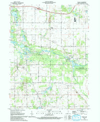
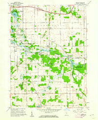
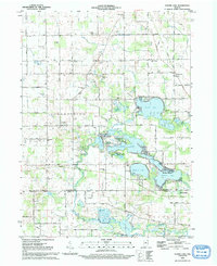
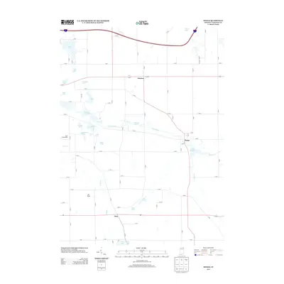
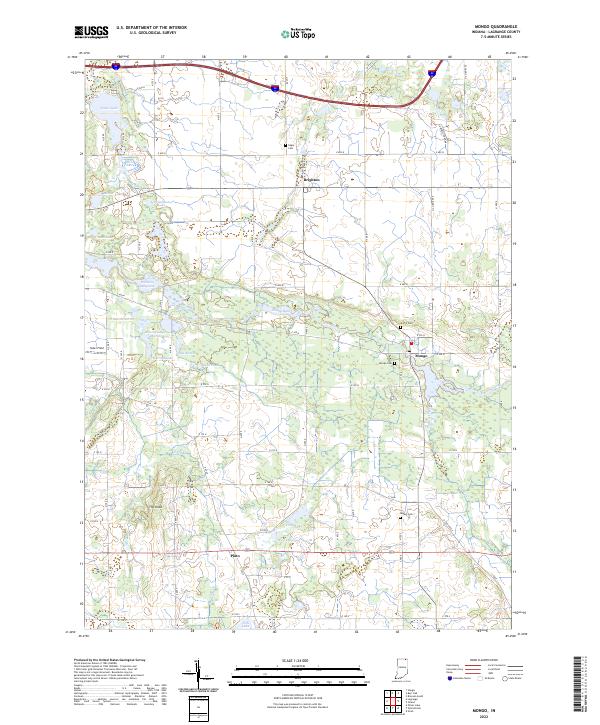
1992 Map of Mongo
USGS Topo · Published 1993About this map
The Pigeon River State Fish and Wildlife Area dominates the center of this LaGrange County landscape, where the Pigeon River winds through a complex system of marshes and ponds. This early 1990s record details a diverse water network including Nasby Millpond, Mongo Millpond, and Ontario Millpond, reflecting the historical importance of these waterways for milling and recreation. The settlement of Mongo sits at a river bend, serving as a local hub near the Mongo Cemetery and several campgrounds.
Find a feature on this map
52 named features on this map. Tap any name to fly to it.
Don’t see what you’re looking for? This feature index may not catch every label — zoom into the map to look around manually.
Map Details
Editions of this 1992 Mongo Map
This is the sole edition of this map. No revisions or reprints were ever made.
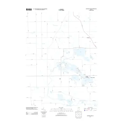
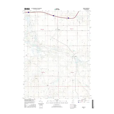
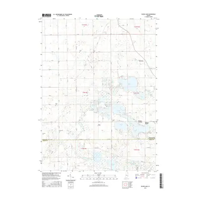
Historical Maps of Plato Through Time
16 maps found
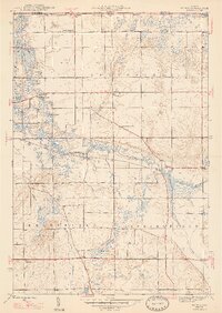
1947 Mongo
LaGrange County, IN
1947 Oliver Lake
LaGrange County, IN
1959 Oliver Lake
LaGrange County, IN
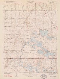
1960 Mongo
LaGrange County, IN
1992 Mongo
LaGrange County, IN
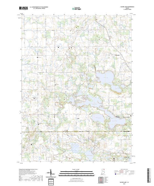
1992 Oliver Lake
LaGrange County, IN
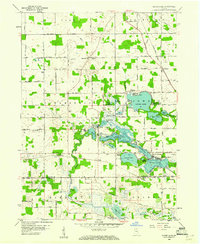
2010 Mongo
LaGrange County, IN
2010 Oliver Lake
LaGrange County, IN
2013 Mongo
LaGrange County, IN
2013 Oliver Lake
LaGrange County, IN
2016 Mongo
LaGrange County, IN
2016 Oliver Lake
LaGrange County, IN
2019 Mongo
LaGrange County, IN
2019 Oliver Lake
LaGrange County, IN
2022 Mongo
LaGrange County, IN
2022 Oliver Lake
LaGrange County, IN