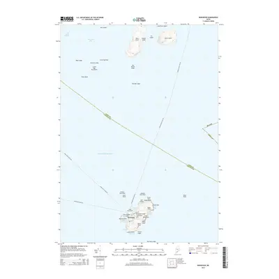
2014 Map of Monhegan
USGS Topo · Published 2014About this map
Monhegan Island Lighthouse stands as the sentinel of this isolated coastal landscape, overlooking a rugged cluster of islands and rocky ledges in the Atlantic Ocean. The settlement of Monhegan is concentrated near the western shore, sheltered by Manana Island and the waters of Monhegan Harbor. This map captures the maritime dependence of the area, defined by established ferry routes like the Monhegan Boat Line Fry and Hardy Boat Cruises Fry that connect these outposts to the mainland. Coastal geography dominates the quadrangle, from the heights of Black Head and White Head to the tidal reaches of Lobster Cove and Christmas Cove. The surrounding waters are punctuated by hazards and landmarks such as Old Man Ledge, Duck Rocks, and the Georges Islands to the north, illustrating the navigational complexity of the Maine shoreline.
Find a feature on this map
49 named features on this map. Tap any name to fly to it.
Don’t see what you’re looking for? This feature index may not catch every label — zoom into the map to look around manually.
Map Details
Editions of this 2014 Monhegan Map
This is the sole edition of this map. No revisions or reprints were ever made.
Other maps of this area

1904 · Monhegan
USGS Topo · 1:62,500

1904 · Tenants Harbor
USGS Topo · 1:62,500

1906 · Tennant Harbor
USGS Topo · 1:62,500

1906 · Monhegan
USGS Topo · 1:62,500

1948 · Bath
USGS Topo · 1:250,000
1955 · New Harbor
USGS Topo · 1:24,000
1955 · Tenants Harbor
USGS Topo · 1:24,000
1955 · Louds Island
USGS Topo · 1:24,000
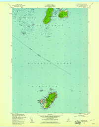
1955 · Monhegan
USGS Topo · 1:24,000
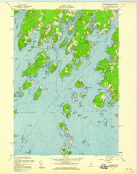
1955 · Friendship
USGS Topo · 1:24,000
Featured Places
- Bristol, ME
- Saint George, ME
- Friendship, ME
- Monhegan, Monhegan Island Plantation
- Monhegan Island Plantation, ME