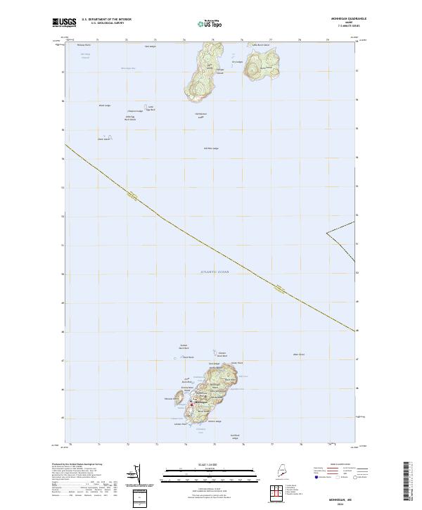
2024 Map of Monhegan
USGS Topo · Published 2024About this map
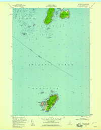
Monhegan Island stands as a distinct maritime outpost within Muscongus Bay, where the village of Monhegan serves as the focal point for this isolated Atlantic community. The landscape is defined by its dramatic coastal geography, from the heights of Lighthouse Hill down to the protected waters of Monhegan Harbor. Surrounded by smaller landmasses like Manana Island and Smutty Nose Island, the island's perimeter is a complex network of named ledges and coves, including Lobster Cove and Squeaker Cove. To the north, the Georges Islands group, featuring Allen Island and Burnt Island, marks the transition toward the mainland. This survey records the enduring layout of one of Maine's most famous artist colonies and fishing settlements, documenting the footpaths and local roads such as Lobster Cove Rd that connect its rocky heads and pebbled shores.
Find a feature on this map
44 named features on this map. Tap any name to fly to it.
Don’t see what you’re looking for? This feature index may not catch every label — zoom into the map to look around manually.
Map Details
Editions of this 2024 Monhegan Map
This is the sole edition of this map. No revisions or reprints were ever made.
Other maps of this area

1904 · Monhegan
USGS Topo · 1:62,500

1904 · Tenants Harbor
USGS Topo · 1:62,500

1906 · Tennant Harbor
USGS Topo · 1:62,500

1906 · Monhegan
USGS Topo · 1:62,500

1948 · Bath
USGS Topo · 1:250,000
1955 · New Harbor
USGS Topo · 1:24,000
1955 · Tenants Harbor
USGS Topo · 1:24,000
1955 · Louds Island
USGS Topo · 1:24,000
1955 · Monhegan
USGS Topo · 1:24,000
1955 · Friendship
USGS Topo · 1:24,000
Featured Places
- Bristol, ME
- Saint George, ME
- Friendship, ME
- Monhegan, Monhegan Island Plantation
- Monhegan Island Plantation, ME