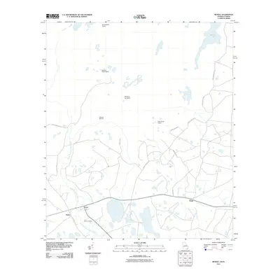
2011 Map of Moniac
USGS Topo · Published 2011About this map
The North Prong Saint Marys River meanders along the border of Georgia and Florida, anchoring a landscape defined by the transition from riverine wetlands to the edges of the Okefenokee swamp. The settlements of Baxter and Moniac sit near the river’s edge, where the Moniac Cemetery provides a focal point for local genealogy. This 2011 survey reveals an intricate network of island-like high ground and swamp breaks, such as Broomstraw Island and Roasting Ear Island, that disrupt the low-lying terrain.
Find a feature on this map
20 named features on this map. Tap any name to fly to it.
Don’t see what you’re looking for? This feature index may not catch every label — zoom into the map to look around manually.
Map Details
Editions of this 2011 Moniac Map
This is the sole edition of this map. No revisions or reprints were ever made.
Other maps of this area
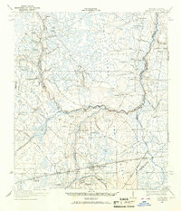
1917 · Macclenny
USGS Topo · 1:62,500
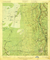
1918 · Moniac
USGS Topo · 1:62,500
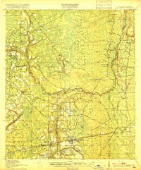
1918 · Macclenny
USGS Topo · 1:62,500
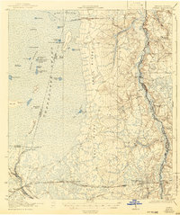
1942 · Moniac
USGS Topo · 1:62,500
1954 · Valdosta
USGS Topo · 1:250,000
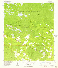
1956 · Eddy
USGS Topo · 1:24,000
1958 · Valdosta
USGS Topo · 1:250,000
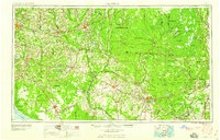
1959 · Valdosta
USGS Topo · 1:250,000
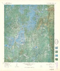
1965 · Chesser Island
USGS Topo · 1:24,000
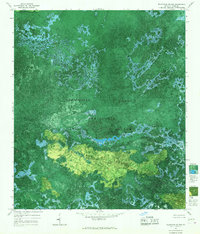
1965 · Blackjack Island
USGS Topo · 1:24,000