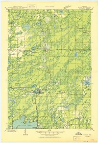
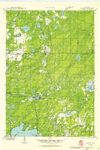
1950 Map of Monico
USGS Topo · Published 1950About this map
Pelican Lake anchors the southern landscape of this mid-century survey, a region defined by its dense network of glacial lakes and northern forests. The settlement of Monico serves as a central hub, situated at the critical junction of the Chicago and Northwestern and the Minneapolis St Paul and Sault Ste Marie railroads. These rail lines dictate the local geography, connecting smaller outposts like Starks, Gagen, and Lennox.
Find a feature on this map
62 named features on this map. Tap any name to fly to it.
Don’t see what you’re looking for? This feature index may not catch every label — zoom into the map to look around manually.
Map Details
Editions of this 1950 Monico Map
This is the sole edition of this map. No revisions or reprints were ever made.
Other maps of this area
1928 · Three Lakes
USGS Topo · 1:48,000
1930 · Robbins
USGS Topo · 1:48,000
1938 · Alvin
USGS Topo · 1:48,000
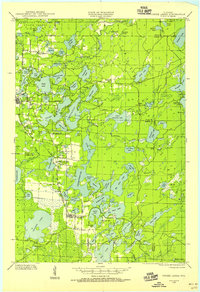
1938 · Three Lakes
USGS Topo · 1:48,000
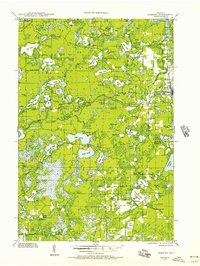
1938 · Robbins
USGS Topo · 1:48,000
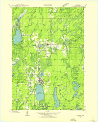
1939 · Crandon
USGS Topo · 1:48,000
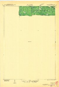
1940 · Parrish
USGS Topo · 1:48,000
1940 · Monico
USGS Topo · 1:48,000
1940 · Rhinelander
USGS Topo · 1:48,000
1941 · Crandon
USGS Topo · 1:48,000