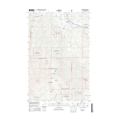
2014 Map of Monitor
USGS Topo · Published 2014About this map
The Monitor settlement and the Wenatchee River valley define this map, showing the intricate network of water management required for the region’s renowned orchards. The presence of the Icicle Canal, Olive Ditch, and Gunn Ditch illustrates the historical engineering of the landscape, where water was diverted to support agriculture along the river banks. Near the town center, the Old Monitor Road Bridge provides a specific point of reference for local transportation history.
Find a feature on this map
44 named features on this map. Tap any name to fly to it.
Don’t see what you’re looking for? This feature index may not catch every label — zoom into the map to look around manually.
Map Details
Editions of this 2014 Monitor Map
This is the sole edition of this map. No revisions or reprints were ever made.
Other maps of this area

1897 · Mount Stuart
USGS Topo · 1:125,000

1901 · Chelan
USGS Topo · 1:125,000

1901 · Chiwaukum
USGS Topo · 1:125,000

1902 · Mount Stuart
USGS Topo · 1:125,000

1904 · Chiwaukum
USGS Topo · 1:125,000

1913 · Wenatchee
USGS Topo · 1:62,500

1915 · Wenatchee
USGS Topo · 1:62,500

1920 · Colockum Pass
USGS Topo · 1:125,000

1922 · Colockum Pass
USGS Topo · 1:125,000

1957 · Wenatchee
USGS Topo · 1:250,000