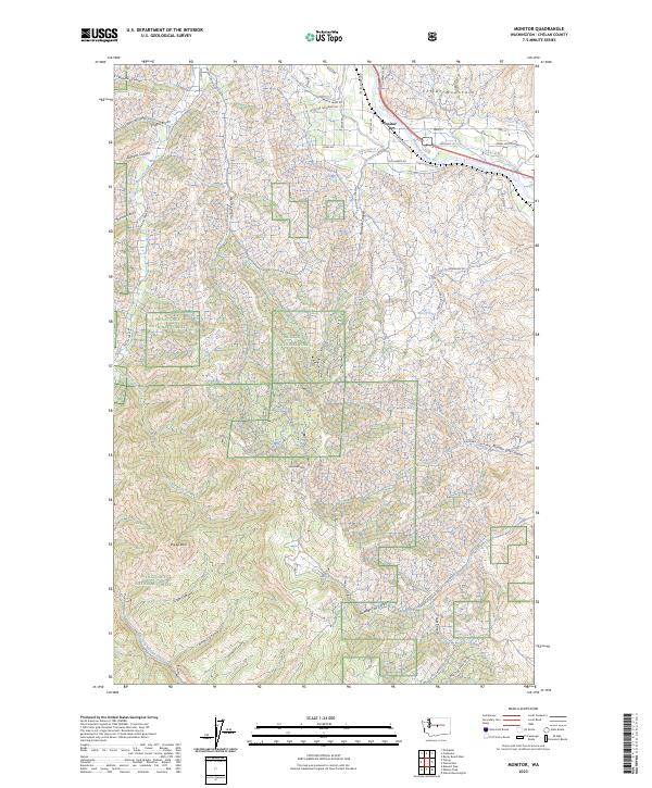
2023 Map of Monitor
USGS Topo · Published 2023About this map
The settlement of Monitor serves as the focal point of this 2023 survey, situated where the Wenatchee River meets a network of vital irrigation infrastructure. The local agricultural legacy is evident in the presence of the High Line Canal, Icicle Canal, and Gunn Ditch, which distribute water across the valley floor. Orchards and small-scale agriculture define the lowland development, specifically around Monitor Orchards Rd.
Find a feature on this map
55 named features on this map. Tap any name to fly to it.
Don’t see what you’re looking for? This feature index may not catch every label — zoom into the map to look around manually.
Map Details
Editions of this 2023 Monitor Map
This is the sole edition of this map. No revisions or reprints were ever made.
Other maps of this area

1897 · Mount Stuart
USGS Topo · 1:125,000

1901 · Chelan
USGS Topo · 1:125,000

1901 · Chiwaukum
USGS Topo · 1:125,000

1902 · Mount Stuart
USGS Topo · 1:125,000

1904 · Chiwaukum
USGS Topo · 1:125,000

1913 · Wenatchee
USGS Topo · 1:62,500

1915 · Wenatchee
USGS Topo · 1:62,500

1920 · Colockum Pass
USGS Topo · 1:125,000

1922 · Colockum Pass
USGS Topo · 1:125,000

1957 · Wenatchee
USGS Topo · 1:250,000