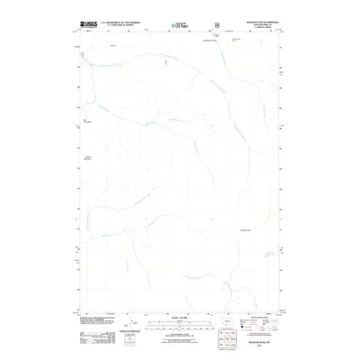
2011 Map of Monitor Peak
USGS Topo · Published 2011About this map
Mill Mine sits at the northern edge of this high-elevation landscape in Park County, signaling the area's history of mineral extraction. The 2011 survey documents a region defined by steep drainages and prominent summits, where Monitor Peak and Sliding Mountain overlook a complex network of alpine waterways. Industry remains a visible part of the record through the SE Section 6 Mine and SW Section 5 Mine, located near the headwaters of Emigrant Creek and Huckleberry Gulch. The map reveals a wild geography where large basins like Big Pine Basin transition into narrow canyons cut by the North Fork Sixmile Creek and Placer Basin Creek. To the southeast, the quiet waters of Fish Lake rest near the divide between the North Fork Bear Creek and Cedar Creek drainages, illustrating the rugged topography that has historically challenged both miners and explorers in this part of Montana.
Find a feature on this map
16 named features on this map. Tap any name to fly to it.
Don’t see what you’re looking for? This feature index may not catch every label — zoom into the map to look around manually.
Map Details
Editions of this 2011 Monitor Peak Map
This is the sole edition of this map. No revisions or reprints were ever made.
Other maps of this area

1891 · Livingston
USGS Topo · 1:250,000

1893 · Livingston
USGS Topo · 1:250,000

1947 · Bozeman
USGS Topo · 1:250,000

1948 · Bozeman
USGS Topo · 1:250,000

1955 · Bozeman
USGS Topo · 1:250,000

1955 · Emigrant
USGS Topo · 1:62,500

1955 · Fridley Peak
USGS Topo · 1:62,500
1955 · Gardiner
USGS Topo · 1:62,500
1955 · Miner
USGS Topo · 1:62,500

1958 · Bozeman
USGS Topo · 1:250,000