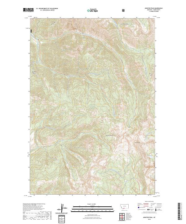
2024 Map of Monitor Peak
USGS Topo · Published 2024About this map
Monitor Peak dominates the southeast corner of this terrain, marking a high point within the Gallatin National Forest and the Absaroka-Beartooth Wilderness. The landscape is defined by the headwaters of several drainages, including Sixmile Creek, which is fed by the North Fork Sixmile Creek and the South Fork Sixmile Trail. To the west, Sliding Mtn and Big Pine Basin provide clear landmarks for backcountry navigation, while the northern boundary is traced by the prominent B-47 Ridge.
Find a feature on this map
30 named features on this map. Tap any name to fly to it.
Don’t see what you’re looking for? This feature index may not catch every label — zoom into the map to look around manually.
Map Details
Editions of this 2024 Monitor Peak Map
This is the sole edition of this map. No revisions or reprints were ever made.
Other maps of this area

1891 · Livingston
USGS Topo · 1:250,000

1893 · Livingston
USGS Topo · 1:250,000

1947 · Bozeman
USGS Topo · 1:250,000

1948 · Bozeman
USGS Topo · 1:250,000

1955 · Bozeman
USGS Topo · 1:250,000

1955 · Emigrant
USGS Topo · 1:62,500

1955 · Fridley Peak
USGS Topo · 1:62,500
1955 · Gardiner
USGS Topo · 1:62,500
1955 · Miner
USGS Topo · 1:62,500

1958 · Bozeman
USGS Topo · 1:250,000