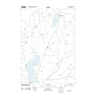
2011 Map of Monmouth
USGS Topo · Published 2011About this map
Monmouth serves as a focal point in this landscape where water and topography dictated early Maine development. The village is positioned alongside Cochnewagon Lake, regulated by the Cochnewagon Dam, while the surrounding countryside is dotted with small settlements like Wales Corner, Keenes Corner, and East Wales. The intersection of drainage and transport is evident at Leeds Junction, where the Dead River winds through low-lying terrain.
Find a feature on this map
108 named features on this map. Tap any name to fly to it.
Don’t see what you’re looking for? This feature index may not catch every label — zoom into the map to look around manually.
Map Details
Editions of this 2011 Monmouth Map
This is the sole edition of this map. No revisions or reprints were ever made.
Other maps of this area

1892 · Gardiner
USGS Topo · 1:62,500

1892 · Augusta
USGS Topo · 1:62,500

1908 · Lewiston
USGS Topo · 1:62,500

1910 · Livermore
USGS Topo · 1:62,500

1912 · Livermore
USGS Topo · 1:62,500

1941 · Livermore
USGS Topo · 1:62,500

1941 · Augusta
USGS Topo · 1:62,500

1942 · Lewiston
USGS Topo · 1:62,500

1943 · Augusta
USGS Topo · 1:62,500

1943 · Gardiner
USGS Topo · 1:62,500