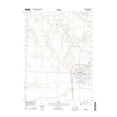
2015 Map of Monmouth
USGS Topo · Published 2015About this map
Monmouth serves as a significant regional center in Warren County, anchored by the campus of Monmouth Coll. The landscape is defined by the convergence of several waterways, including Davids Cr, Johns Cr, and Cedar Creek, which flow through the agricultural plains north of the city. Notable infrastructure includes the Monmouth Municipal Airport and a grid of rural avenues like 250th Ave that connect the smaller settlement of Eleanor to the urban core. For genealogists, the map is particularly rich in burial sites, ranging from the large Monmouth City Cem and Saint Mary's Cem near the city center to more remote locations like Sugar Tree Grove Cem and Pioneer Cem. Recreational features such as Lake Warren and Citizens Lake reflect the community's use of local water resources for leisure and civic life.
Find a feature on this map
94 named features on this map. Tap any name to fly to it.
Don’t see what you’re looking for? This feature index may not catch every label — zoom into the map to look around manually.
Map Details
Editions of this 2015 Monmouth Map
This is the sole edition of this map. No revisions or reprints were ever made.
Other maps of this area

1921 · Monmouth
USGS Topo · 1:62,500

1923 · Monmouth
USGS Topo · 1:62,500

1923 · Alexis
USGS Topo · 1:62,500

1925 · Alexis
USGS Topo · 1:62,500

1934 · Oquawka
USGS Topo · 1:48,000

1935 · Keithsburg
USGS Topo · 1:48,000

1940 · Oquawka
USGS Topo · 1:62,500

1941 · Keithsburg
USGS Topo · 1:62,500

1958 · Burlington
USGS Topo · 1:250,000

1958 · Davenport
USGS Topo · 1:250,000