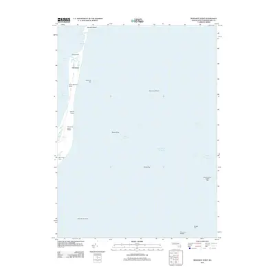
2012 Map of Monomoy Point
USGS Topo · Published 2012About this map
South Monomoy Island dominates this maritime survey, illustrating the shifting sands and delicate coastal geography south of Chatham. This narrow landform is defined by its windswept Barrier Dunes and Monomoy Island Dunes, separating the relatively protected Nantucket Sound from the open Atlantic Ocean. The map reveals a complex underwater topography essential for navigation, featuring treacherous areas like Pollock Rip, Bearse Shoal, and Stone Horse Shoal.
Find a feature on this map
21 named features on this map. Tap any name to fly to it.
Don’t see what you’re looking for? This feature index may not catch every label — zoom into the map to look around manually.
Map Details
Editions of this 2012 Monomoy Point Map
This is the sole edition of this map. No revisions or reprints were ever made.
Other maps of this area

1887 · Yarmouth
USGS Topo · 1:62,500

1888 · Chatham
USGS Topo · 1:62,500

1889 · Yarmouth
USGS Topo · 1:62,500

1893 · Chatham
USGS Topo · 1:62,500

1893 · Yarmouth
USGS Topo · 1:62,500

1917 · Chatham
USGS Topo · 1:62,500

1942 · Cape Cod Bay
USGS Topo · 1:125,000
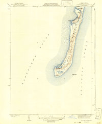
1942 · Monomoy Point
USGS Topo · 1:31,680
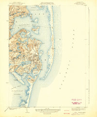
1942 · Chatham
USGS Topo · 1:31,680

1942 · Nauset
USGS Topo · 1:125,000