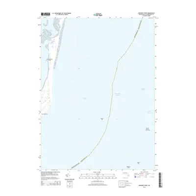
2015 Map of Monomoy Point
USGS Topo · Published 2015About this map
South Monomoy Island stretches into the Atlantic Ocean in this 2015 survey, defining the southern tip of the Monomoy National Wildlife Refuge area near Chatham. The map illustrates a landscape shaped by coastal dynamics, terminating at Monomoy Point. This area is historically significant for its complex seafloor topography, which has long influenced maritime navigation in these waters. The surrounding environment is dominated by shifting sandbars and hazardous underwater features such as the Monomoy Shoals and the various sections of the Pollock Rip. Detailed hydrographic data delineates the Pollock Rip Channel, alongside treacherous areas like the Broken Part of Pollock Rip and Broken Rip, which emphasize the ever-changing nature of this coastal boundary in Barnstable County.
Find a feature on this map
10 named features on this map. Tap any name to fly to it.
Don’t see what you’re looking for? This feature index may not catch every label — zoom into the map to look around manually.
Map Details
Editions of this 2015 Monomoy Point Map
This is the sole edition of this map. No revisions or reprints were ever made.
Other maps of this area

1887 · Yarmouth
USGS Topo · 1:62,500

1888 · Chatham
USGS Topo · 1:62,500

1889 · Yarmouth
USGS Topo · 1:62,500

1893 · Chatham
USGS Topo · 1:62,500

1893 · Yarmouth
USGS Topo · 1:62,500

1917 · Chatham
USGS Topo · 1:62,500

1942 · Cape Cod Bay
USGS Topo · 1:125,000
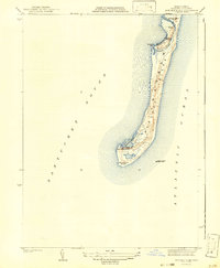
1942 · Monomoy Point
USGS Topo · 1:31,680
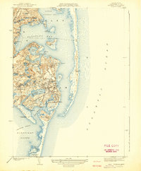
1942 · Chatham
USGS Topo · 1:31,680

1942 · Nauset
USGS Topo · 1:125,000