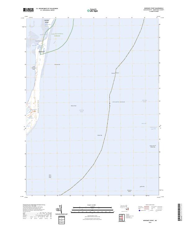
2024 Map of Monomoy Point
USGS Topo · Published 2024About this map
South Monomoy Island and its shifting environment define this coastal survey, where the interaction of the Atlantic Ocean and the intricate shoals of the Cape Cod coast is documented. Managed as part of the Monomoy National Wildlife Refuge and the Monomoy Wilderness, the landscape consists of extensive Monomoy Island Dunes and protected wetlands such as Lighthouse Marsh and Station Pond Marsh.
Find a feature on this map
23 named features on this map. Tap any name to fly to it.
Don’t see what you’re looking for? This feature index may not catch every label — zoom into the map to look around manually.
Map Details
Editions of this 2024 Monomoy Point Map
This is the sole edition of this map. No revisions or reprints were ever made.
Other maps of this area

1887 · Yarmouth
USGS Topo · 1:62,500

1888 · Chatham
USGS Topo · 1:62,500

1889 · Yarmouth
USGS Topo · 1:62,500

1893 · Chatham
USGS Topo · 1:62,500

1893 · Yarmouth
USGS Topo · 1:62,500

1917 · Chatham
USGS Topo · 1:62,500

1942 · Cape Cod Bay
USGS Topo · 1:125,000
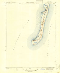
1942 · Monomoy Point
USGS Topo · 1:31,680
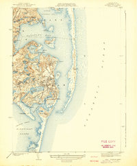
1942 · Chatham
USGS Topo · 1:31,680

1942 · Nauset
USGS Topo · 1:125,000