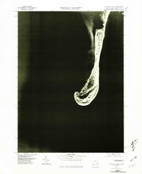
1977 Map of Monomoy Point
USGS Topo · Published 1981About this map
Monomoy Island stretches southward into the shifting waters of the Atlantic Ocean in this late-1970s orthophotoquad. Produced by the Geological Survey and the Commonwealth of Massachusetts Department of Public Works, the imagery provides a distinct visual record of the island's coastal morphology before major weather events altered its structure. The landform terminates at Monomoy Point, a hook-shaped sandy spit that separates the open ocean from the calmer Nantucket Sound to the west. This specific format, an orthophotograph, offers a photographic rather than illustrated view of the sandbars, tidal flats, and vegetation patterns that defined this dynamic Cape Cod environment during the spring of 1977.
Find a feature on this map
4 named features on this map. Tap any name to fly to it.
Don’t see what you’re looking for? This feature index may not catch every label — zoom into the map to look around manually.
Map Details
Editions of this 1977 Monomoy Point Map
This is the sole edition of this map. No revisions or reprints were ever made.
Other maps of this area

1887 · Yarmouth
USGS Topo · 1:62,500

1888 · Chatham
USGS Topo · 1:62,500

1889 · Yarmouth
USGS Topo · 1:62,500

1893 · Chatham
USGS Topo · 1:62,500

1893 · Yarmouth
USGS Topo · 1:62,500

1917 · Chatham
USGS Topo · 1:62,500

1942 · Cape Cod Bay
USGS Topo · 1:125,000
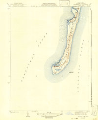
1942 · Monomoy Point
USGS Topo · 1:31,680
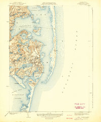
1942 · Chatham
USGS Topo · 1:31,680

1942 · Nauset
USGS Topo · 1:125,000