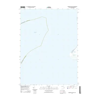
2015 Map of Monomoy Point OE W
USGS Topo · Published 2015About this map
Atlantic Ocean waters dominate this nautical landscape off the coast of Barnstable County. The map documents a shifting maritime environment where coastal features like the Powder Hole and Big Station Pond are recorded along the eastern edge of the survey area. This 2015 data reflects the complex and ever-changing geography of the Massachusetts shoreline, illustrating the sparse landforms that emerge from the sea in this portion of the Monomoy Point region. The absence of roads or built infrastructure emphasizes the coastal nature of these features, which serve as critical landmarks for local maritime history and ecological study.
Find a feature on this map
4 named features on this map. Tap any name to fly to it.
Don’t see what you’re looking for? This feature index may not catch every label — zoom into the map to look around manually.
Map Details
Editions of this 2015 Monomoy Point OE W Map
This is the sole edition of this map. No revisions or reprints were ever made.
Other maps of this area

1887 · Yarmouth
USGS Topo · 1:62,500

1888 · Chatham
USGS Topo · 1:62,500

1889 · Yarmouth
USGS Topo · 1:62,500

1893 · Chatham
USGS Topo · 1:62,500

1893 · Yarmouth
USGS Topo · 1:62,500

1917 · Chatham
USGS Topo · 1:62,500

1942 · Cape Cod Bay
USGS Topo · 1:125,000
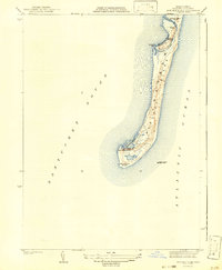
1942 · Monomoy Point
USGS Topo · 1:31,680
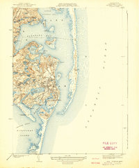
1942 · Chatham
USGS Topo · 1:31,680

1942 · Nauset
USGS Topo · 1:125,000