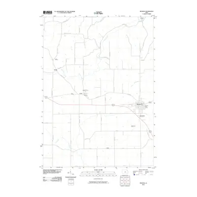
2010 Map of Monona
USGS Topo · Published 2010About this map
Monona and Luana anchor this Clayton County landscape, where the agricultural grid is deeply etched by the meandering courses of the Yellow River and Hickory Creek. The map reveals a high density of burial sites for a rural area, including the Smithfield Cemetery in the north and the Pioneer Cemetery to the south, suggesting generations of family lineages rooted in this soil. Regional connectivity is centered on the corridor between the Luana Post Office and Monona Post Office, while the small settlement of Hardin sits tucked along the western edge. Beyond the towns, the terrain is defined by named rural routes like Fuel Hollow Rd and Jackson Hollow Dr, pointing to the underlying topography of ridges and draws that break the symmetry of the farm fields.
Find a feature on this map
52 named features on this map. Tap any name to fly to it.
Don’t see what you’re looking for? This feature index may not catch every label — zoom into the map to look around manually.
Map Details
Editions of this 2010 Monona Map
This is the sole edition of this map. No revisions or reprints were ever made.
Other maps of this area

1901 · Oelwein
USGS Topo · 1:125,000

1902 · Elkader
USGS Topo · 1:125,000

1903 · Waukon
USGS Topo · 1:125,000

1906 · Decorah
USGS Topo · 1:125,000

1958 · La Crosse
USGS Topo · 1:250,000

1959 · Dubuque
USGS Topo · 1:250,000

1961 · Dubuque
USGS Topo · 1:250,000

1961 · La Crosse
USGS Topo · 1:250,000

1962 · Dubuque
USGS Topo · 1:250,000

1965 · La Crosse
USGS Topo · 1:250,000