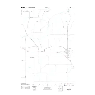
2013 Map of Monona
USGS Topo · Published 2013About this map
Monona and Luana anchor this portion of northeast Iowa, where the landscape transitions from rolling farmland into the deep-cut drainage basins of the Yellow River. In the early twenty-first century, this region remains defined by a dense network of township roads and agricultural corridors, including 115th St and Falcon Ave. The small settlement of Hardin sits near the winding course of Hickory Creek, illustrating the long-standing relationship between local hamlets and the area's primary watercourses. This survey detail captures the layout of these rural communities alongside specialized land uses like the Gateway Park Campground and the Monona Township Culbert, providing a precise record of the infrastructure and boundaries within Clayton County.
Find a feature on this map
68 named features on this map. Tap any name to fly to it.
Don’t see what you’re looking for? This feature index may not catch every label — zoom into the map to look around manually.
Map Details
Editions of this 2013 Monona Map
This is the sole edition of this map. No revisions or reprints were ever made.
Other maps of this area

1901 · Oelwein
USGS Topo · 1:125,000

1902 · Elkader
USGS Topo · 1:125,000

1903 · Waukon
USGS Topo · 1:125,000

1906 · Decorah
USGS Topo · 1:125,000

1958 · La Crosse
USGS Topo · 1:250,000

1959 · Dubuque
USGS Topo · 1:250,000

1961 · Dubuque
USGS Topo · 1:250,000

1961 · La Crosse
USGS Topo · 1:250,000

1962 · Dubuque
USGS Topo · 1:250,000

1965 · La Crosse
USGS Topo · 1:250,000