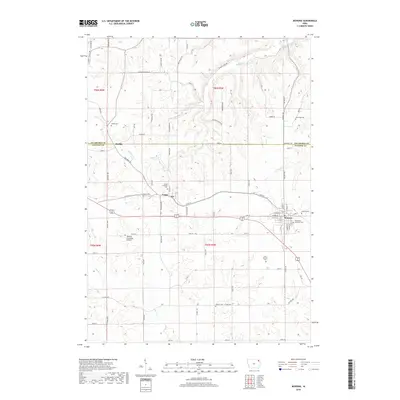
2018 Map of Monona
USGS Topo · Published 2018About this map
The town of Monona serves as a local hub in northeastern Iowa, situated at the boundary where Allamakee and Clayton Counties meet. This landscape is defined by the headwaters of several drainages, including Yellow River, Hickory Creek, and Suttle Creek, which carve through the terrain near Jackson Hollow. The settlement pattern reflects a deeply rooted community, with numerous small cemeteries such as Hardin Cemetery and Pioneer Cemetery scattered along the ridge lines and country roads.
Find a feature on this map
75 named features on this map. Tap any name to fly to it.
Don’t see what you’re looking for? This feature index may not catch every label — zoom into the map to look around manually.
Map Details
Editions of this 2018 Monona Map
This is the sole edition of this map. No revisions or reprints were ever made.
Other maps of this area

1901 · Oelwein
USGS Topo · 1:125,000

1902 · Elkader
USGS Topo · 1:125,000

1903 · Waukon
USGS Topo · 1:125,000

1906 · Decorah
USGS Topo · 1:125,000

1958 · La Crosse
USGS Topo · 1:250,000

1959 · Dubuque
USGS Topo · 1:250,000

1961 · Dubuque
USGS Topo · 1:250,000

1961 · La Crosse
USGS Topo · 1:250,000

1962 · Dubuque
USGS Topo · 1:250,000

1965 · La Crosse
USGS Topo · 1:250,000