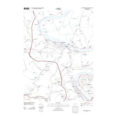
2013 Map of Monongahela
USGS Topo · Published 2013About this map
The Monongahela River carves a deep valley through the heart of this industrial and residential landscape, anchoring a series of riverfront communities including Monongahela, New Eagle, and East Monongahela. The river is spanned by the Monongahela City Bridge, a critical link between the riverside settlements and the steeper terrain to the north. Smaller pockets of development like Black Diamond, Victory Hills, and Gallatin line the southern banks, showing the dense settlement patterns characteristic of the region's historic mining and manufacturing economy.
Find a feature on this map
190 named features on this map. Tap any name to fly to it.
Don’t see what you’re looking for? This feature index may not catch every label — zoom into the map to look around manually.
Map Details
Editions of this 2013 Monongahela Map
This is the sole edition of this map. No revisions or reprints were ever made.
Other maps of this area

1901 · Amity
USGS Topo · 1:62,500

1902 · Brownsville
USGS Topo · 1:62,500

1904 · Amity
USGS Topo · 1:62,500

1904 · Mc Keesport
USGS Topo · 1:62,500

1904 · Carnegie
USGS Topo · 1:62,500

1906 · Brownsville
USGS Topo · 1:62,500

1906 · Carnegie
USGS Topo · 1:62,500

1907 · Pittsburg
USGS Topo · 1:62,500

1908 · Carnegie
USGS Topo · 1:62,500

1931 · Brownsville
USGS Topo · 1:62,500