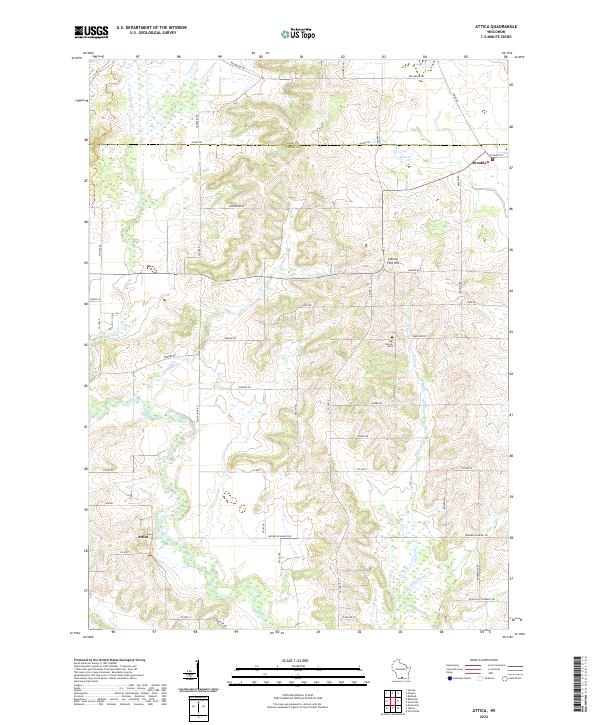
2022 Map of Monroe NW
USGS Topo · Published 2022About this map
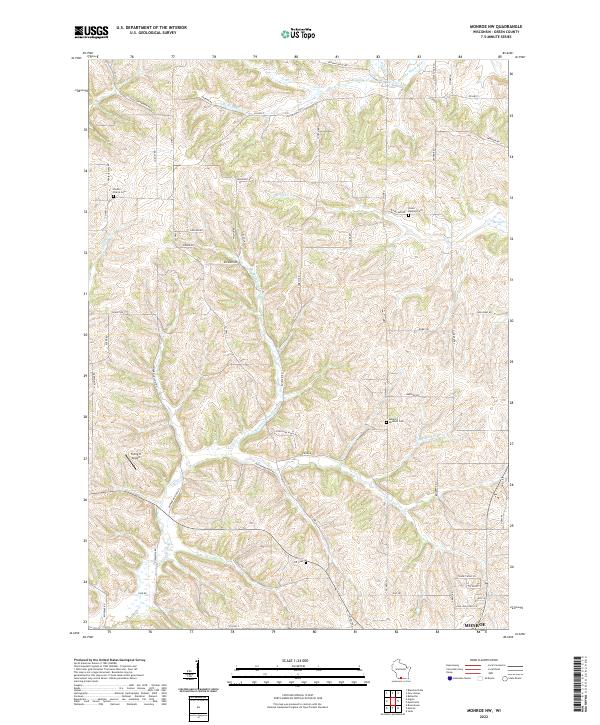
Union Benkert Cem and Benkert Bushnell Cem are tucked into the undulating hills of northwestern Green County, reflecting the deep-rooted family legacies of this agricultural region. The landscape is defined by the branching tributaries of the W Br Little Sugar River and Hefty Cr, where small creeks like Buckskin School Cr and Argus-School Br have carved a complex network of ridges and hollows. Transport in the area relies on a traditional grid of county highways and local routes like Dividing Ridge Rd and Holstein Prairie Rd, which trace the higher ground between drainage basins. Aviation history is represented by the Flying H Airport, while the proximity to the city of Monroe to the southeast anchors the local economy. Genealogists will find particular value in the dispersed burial grounds, including Shooks Prairie Cem and Iliff Cem, which mark the original pioneer settlements of the township.
Find a feature on this map
64 named features on this map. Tap any name to fly to it.
Don’t see what you’re looking for? This feature index may not catch every label — zoom into the map to look around manually.
Map Details
Editions of this 2022 Monroe NW Map
This is the sole edition of this map. No revisions or reprints were ever made.
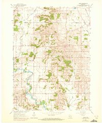
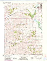
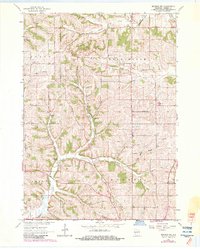
Historical Maps of Monroe Through Time
6 maps found