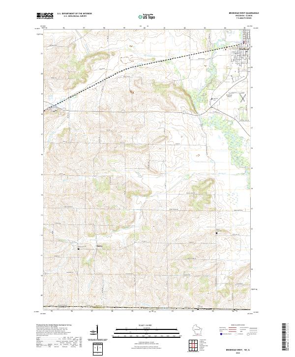
2022 Map of Brodhead West
USGS Topo · Published 2022About this map
Sugar River meanders through the northeast corner of this Green County landscape, passing the settlement of Brodhead and the Brodhead Airport. The terrain south of town is defined by a dense network of country roads and waterways, including Sylvester Creek and OK Creek. Evidence of early community life is preserved in the numerous burial grounds scattered across the townships, such as Mount Hope Cemetery, Clarence Cemetery, and Basswood Cemetery.
Find a feature on this map
43 named features on this map. Tap any name to fly to it.
Don’t see what you’re looking for? This feature index may not catch every label — zoom into the map to look around manually.
Map Details
Editions of this 2022 Brodhead West Map
This is the sole edition of this map. No revisions or reprints were ever made.
Other maps of this area

1893 · Brodhead
USGS Topo · 1:62,500

1920 · Monroe
USGS Topo · 1:62,500

1922 · Monroe
USGS Topo · 1:62,500

1932 · Pecatonica
USGS Topo · 1:62,500

1936 · Pecatonica
USGS Topo · 1:62,500

1939 · Freeport
USGS Topo · 1:48,000

1944 · Freeport
USGS Topo · 1:62,500

1954 · Rockford
USGS Topo · 1:250,000

1955 · Rockford
USGS Topo · 1:250,000

1958 · Rockford
USGS Topo · 1:250,000