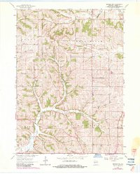
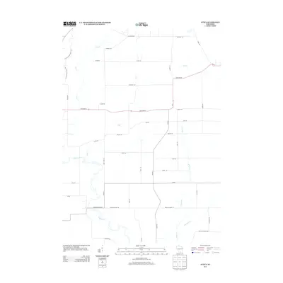
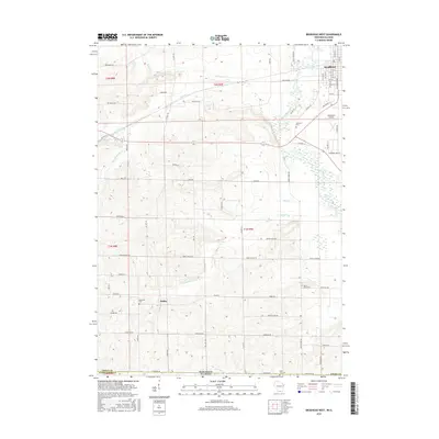
1962 Map of Brodhead West
USGS Topo · Published 1983About this map
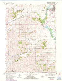
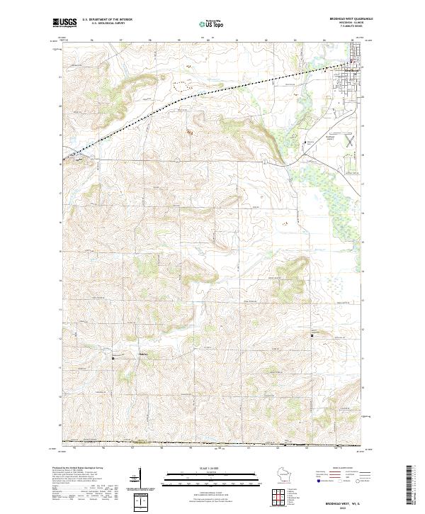
The Sugar River meanders through the eastern edge of this landscape, anchoring the city of Brodhead and its local utilities, including a Powerplant and Sewage Disposal facility. To the west, the terrain rises into the rural townships of Sylvester and Jefferson, where the Chicago Madison and Northern railroad cuts through the countryside near the small settlement of Juda. The map reveals a high concentration of early educational and religious sites that defined Green County's social fabric, such as the Poplar Grove Sch, Davis Sch, and Union Ch.
Find a feature on this map
34 named features on this map. Tap any name to fly to it.
Don’t see what you’re looking for? This feature index may not catch every label — zoom into the map to look around manually.
Map Details
Editions of this 1962 Brodhead West Map
3 editions found
Historical Maps of Brodhead Through Time
18 maps found
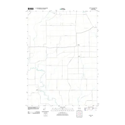
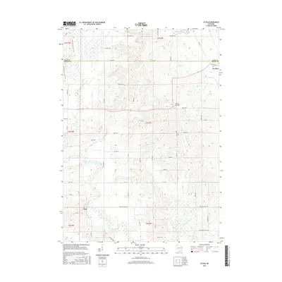
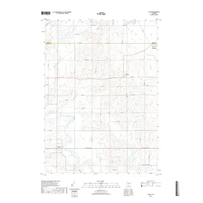
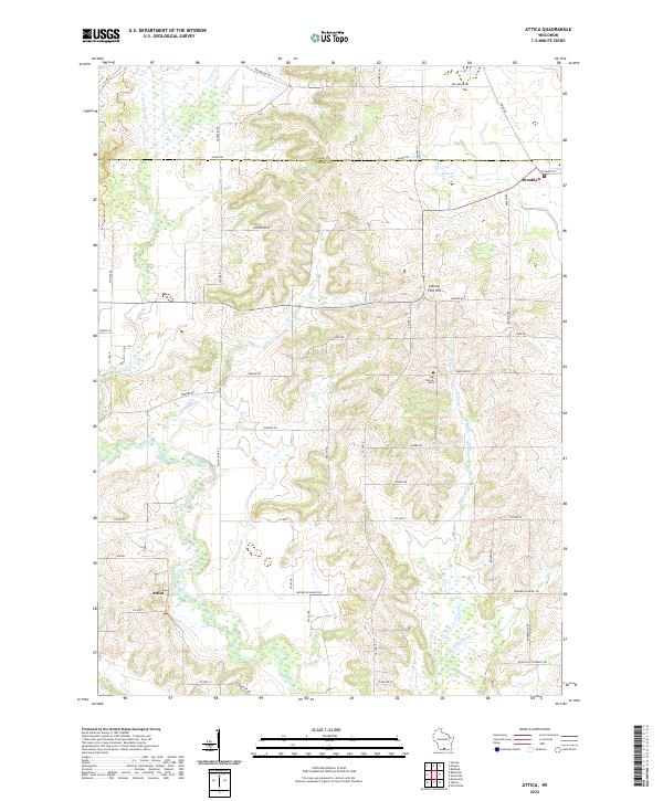
1961 Attica
Green County, WI
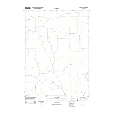
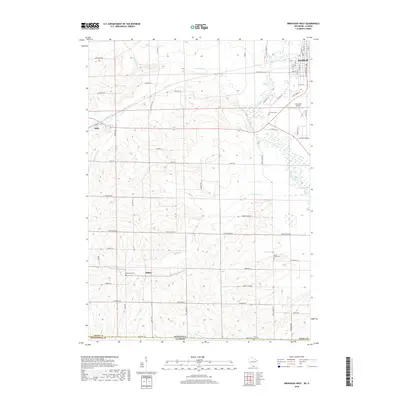
1962 Brodhead West
Green County, WI
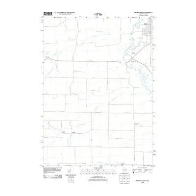
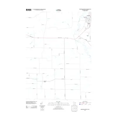
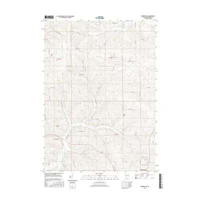
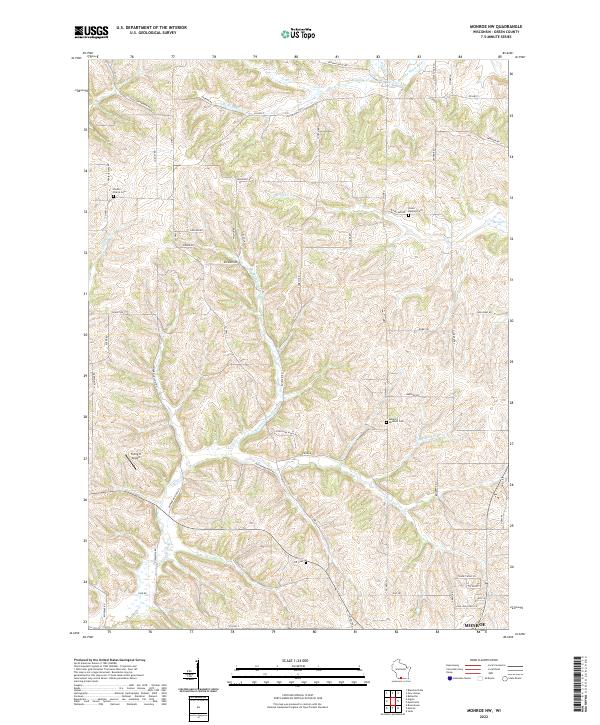
1962 Monroe NW
Green County, WI
2010 Attica
Green County, WI
2010 Brodhead West
Green County, WI
2010 Monroe NW
Green County, WI
2013 Attica
Green County, WI
2013 Brodhead West
Green County, WI
2013 Monroe NW
Green County, WI
2016 Attica
Green County, WI
2016 Brodhead West
Green County, WI
2016 Monroe NW
Green County, WI
2018 Attica
Green County, WI
2018 Brodhead West
Green County, WI
2018 Monroe NW
Green County, WI
2022 Attica
Green County, WI
2022 Brodhead West
Green County, WI
2022 Monroe NW
Green County, WI