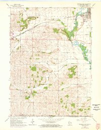
1962 Map of Brodhead West
USGS Topo · Published 1972About this map
Sugar River meanders through the northeast corner of this map, passing the settled streets of Brodhead where a powerplant and sewage disposal facilities serve the growing community. Further south and west, the landscape transitions into a network of rural townships including Sylvester and Spring Grove. This 1960s survey, with early 1970s revisions, illustrates a transition in the local agricultural economy, where long-standing country institutions like Riley School and Poplar Grove Sch stood near active sites like the Gravel Pit. The southern portion of the map reaches the Illinois border, marked by the State Line Ch and the small settlement of Oakley. The path of the Chicago Milwaukee St Paul and Pacific railroad cuts through the terrain, connecting Juda to the regional rail network and defining the early transportation corridor of Green County.
Find a feature on this map
38 named features on this map. Tap any name to fly to it.
Don’t see what you’re looking for? This feature index may not catch every label — zoom into the map to look around manually.
Map Details
Editions of this 1962 Brodhead West Map
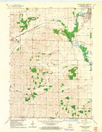
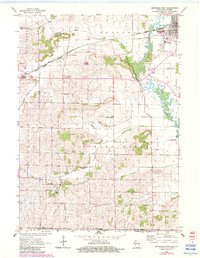
3 editions found
Other maps of this area

1893 · Brodhead
USGS Topo · 1:62,500

1920 · Monroe
USGS Topo · 1:62,500

1922 · Monroe
USGS Topo · 1:62,500

1932 · Pecatonica
USGS Topo · 1:62,500

1936 · Pecatonica
USGS Topo · 1:62,500

1939 · Freeport
USGS Topo · 1:48,000

1944 · Freeport
USGS Topo · 1:62,500

1954 · Rockford
USGS Topo · 1:250,000

1955 · Rockford
USGS Topo · 1:250,000

1958 · Rockford
USGS Topo · 1:250,000