
1943 Map of Monroeton
USGS Topo · Published 1945About this map
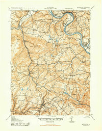
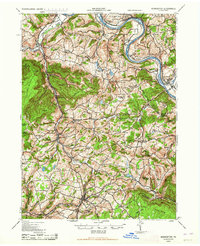
The Susquehanna River carves a deep path through Bradford and Sullivan Counties, defining the geography and settlement patterns of this region during the 1940s. Along its banks, the Lehigh Valley RR connects established river towns like Wyalusing and Monroeton, while Homets Ferry serves as a reminder of the river-based transit of earlier decades. Further inland, the terrain rises sharply toward Kellogg Mountain and Robwood Mountain, where the land is dotted with a network of rural schools including Norway Ridge School and Wellstown School. The map captures a moment when agrarian life remained central to the economy, evidenced by the Pleasant Valley Fruit Farm and numerous small crossings like Coyles Corners. Significant local landmarks like the French Asylum Church and the overlook at Wyalusing Rocks highlight the cultural and natural heritage of the Upper Susquehanna Valley.
Find a feature on this map
88 named features on this map. Tap any name to fly to it.
Don’t see what you’re looking for? This feature index may not catch every label — zoom into the map to look around manually.
Map Details
Editions of this 1943 Monroeton Map
Other maps of this area

1891 · Harveys Lake
USGS Topo · 1:62,500

1893 · Harvey Lake
USGS Topo · 1:62,500

1923 · Towanda
USGS Topo · 1:62,500

1926 · Towanda
USGS Topo · 1:62,500

1927 · Eagles Mere
USGS Topo · 1:48,000

1932 · Eagle Mere
USGS Topo · 1:62,500

1934 · Laporte
USGS Topo · 1:62,500

1939 · Sayre
USGS Topo · 1:62,500

1942 · Sayre
USGS Topo · 1:62,500

1943 · Towanda
USGS Topo · 1:62,500
Featured Places
- Wysox Township, PA
- Wilmot Township, PA
- Asylum Township, PA
- Colley Township, PA
- Standing Stone Township, PA