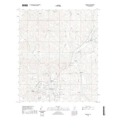
2020 Map of Monroeville
USGS Topo · Published 2020About this map
Monroeville serves as the focal point of this Monroe County landscape, anchored by the Monroe County Courthouse and surrounding neighborhoods like West Monroeville. The settlement pattern extends northward along the ridgelines, where smaller communities such as Peterman, Axle, and Renson follow the high ground between winding creek drainages. Several local cemeteries, including Hillcrest Cem near the town center and Mars Hill Cem to the northeast, provide significant touchstones for genealogists tracing family histories in the region.
Find a feature on this map
107 named features on this map. Tap any name to fly to it.
Don’t see what you’re looking for? This feature index may not catch every label — zoom into the map to look around manually.
Map Details
Editions of this 2020 Monroeville Map
This is the sole edition of this map. No revisions or reprints were ever made.
Other maps of this area

1953 · Andalusia
USGS Topo · 1:250,000

1957 · Andalusia
USGS Topo · 1:250,000

1967 · Beatrice
USGS Topo · 1:24,000

1971 · Burnt Corn
USGS Topo · 1:24,000

1971 · Repton
USGS Topo · 1:24,000

1971 · Beatrice
USGS Topo · 1:24,000

1972 · Monroeville
USGS Topo · 1:24,000

1972 · Frisco City
USGS Topo · 1:24,000

1972 · Natchez
USGS Topo · 1:24,000

1972 · Franklin
USGS Topo · 1:24,000