Loading...
Loading map...2024 Map of Monroeville
USGS Topo · Published 2024About this map
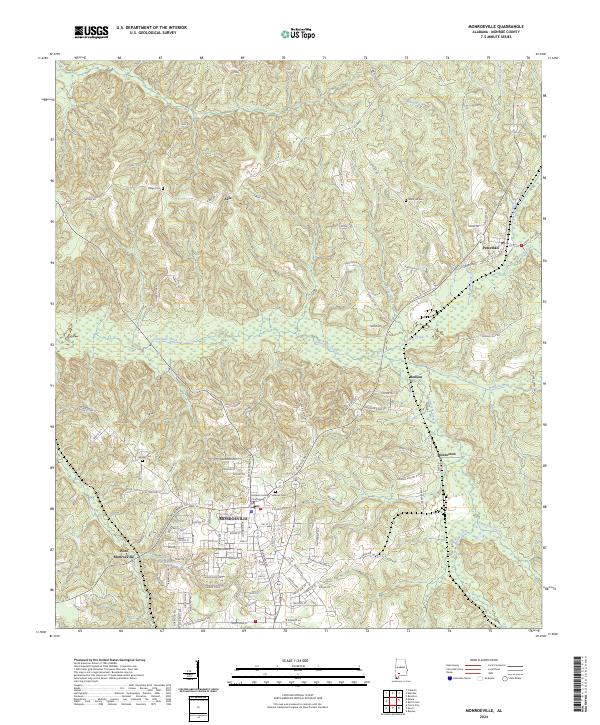
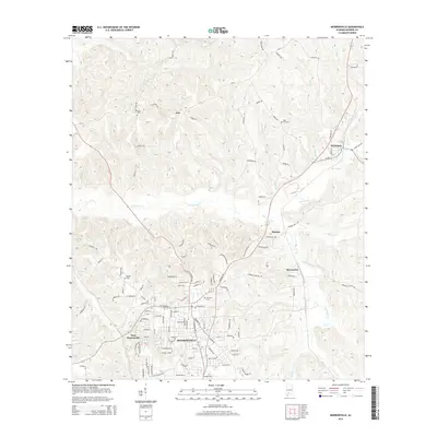
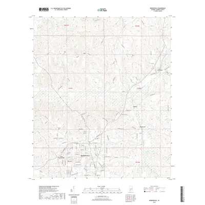
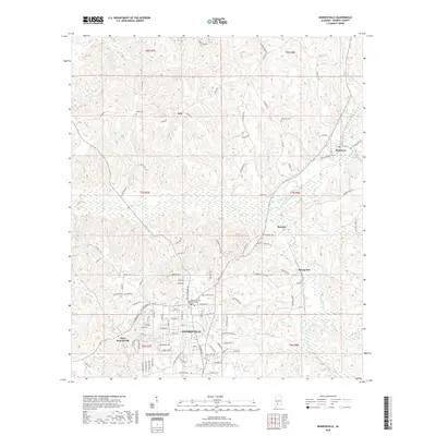
The Monroe County Courthouse anchors this survey of the Alabama interior, centered on the seat of Monroe County. The settlement pattern here follows the ridgelines and creek valleys, with Monroeville expanding westward into West Monroeville and northward toward smaller communities like Axle and Renson. Local history is deeply etched into the landscape through numerous burial grounds, including Bethel Cem, Hillcrest Cem, and Mars Hill Cem.
Find a feature on this map
106 named features on this map. Tap any name to fly to it.
Don’t see what you’re looking for? This feature index may not catch every label — zoom into the map to look around manually.
Map Details
Date Portrayed2024
Date Published2024
PublisherU.S. Geological Survey
Map TypeTopographic
Scale1:24,000
Physical Dimensions24 x 29 inches
Editions of this 2024 Monroeville Map
This is the sole edition of this map. No revisions or reprints were ever made.
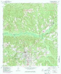
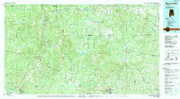
Historical Maps of Monroeville Through Time
7 maps found
Featured Locations
Source Details
SourceU.S. Geological Survey
CopyrightPublic Domain